Export Processing Zone · South Africa

Dimbaza Industrial Park Active
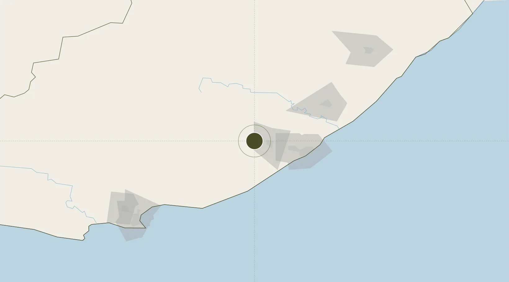
-32.8344°, 27.1936°
36,000 ha
Zone area
71.0 km
Nearest port
10.6 km
Nearest airport

Gateway access

Nearest neighbours — logibook spatial index (haversine) over the source coordinates

Zone profile

Zone type
Export Processing Zone
Open Zone Map
Region
Eastern Cape
Open Zone Map
Status
Active
Open Zone Map
Management
Public
Open Zone Map
Operator
Eastern Cape Development Corporation
Open Zone Map
Legal framework
Special Economic Zones Act No.16 of 2014
Open Zone Map

Location

Location of ozm-4158
Natural Earth 10m (public domain) · Eastern Cape · ozm-4158 · -32.83, 27.19GoogleOSMYandex

Nearby Logistics Neighbours

Ports
  1. 1East London71 km
  2. 2Port Elizabeth190 km
  3. 3Mossel Bay491 km
  4. 4Durban494 km
  5. 5Richards Bay648 km
Nearest neighbours — logibook spatial index (haversine) over the source coordinates
Airports
  1. 1Bisho Airport11 km
  2. 2King Phalo Airport63 km
  3. 3Queenstown Airport106 km
  4. 4Chief Dawid Stuurman International Airport195 km
  5. 5K. D. Matanzima Airport200 km
Nearest neighbours — logibook spatial index (haversine) over the source coordinates
Cities
  1. 1Fort Jackson46 km
  2. 2Madantsane55 km
  3. 3Dawn60 km
  4. 4Amalinda63 km
  5. 5Collondale63 km
Nearest neighbours — logibook spatial index (haversine) over the source coordinates
Trade Zones
  1. 1East London Industrial Development Zone66 km
  2. 2Komani Industrial Park106 km
  3. 3Somerset East Industrial Park150 km
  4. 4Coega Industrial Development Zone176 km
  5. 5Wild Coast (Mthatha) Special Economic Zone202 km
Nearest neighbours — logibook spatial index (haversine) over the source coordinates
DatabookThe Record of Consolidated Knowledge
South Africa beyond logistics?
Browse databook

All Sources

Trade ZonesOpen Zone Map
CC BY
Portsthe NGA World Port Index
Public domain (US gov)
AirportsOurAirports
Public domain
LocationsUN/LOCODE
UN/LOCODE — free
← South Africa trade zones