UN/LOCODE hub · South Africa
ZAZBO

Fort Jackson

-32.8833°, 27.6833°
1
Transport functions

Transport Functions

Multimodal
UN/LOCODE

Hub Profile

Region
EC
GeoNames

Location

Location of ZAZBO
Natural Earth 10m (public domain) · EC · ZAZBO · -32.88, 27.68GoogleOSMYandex

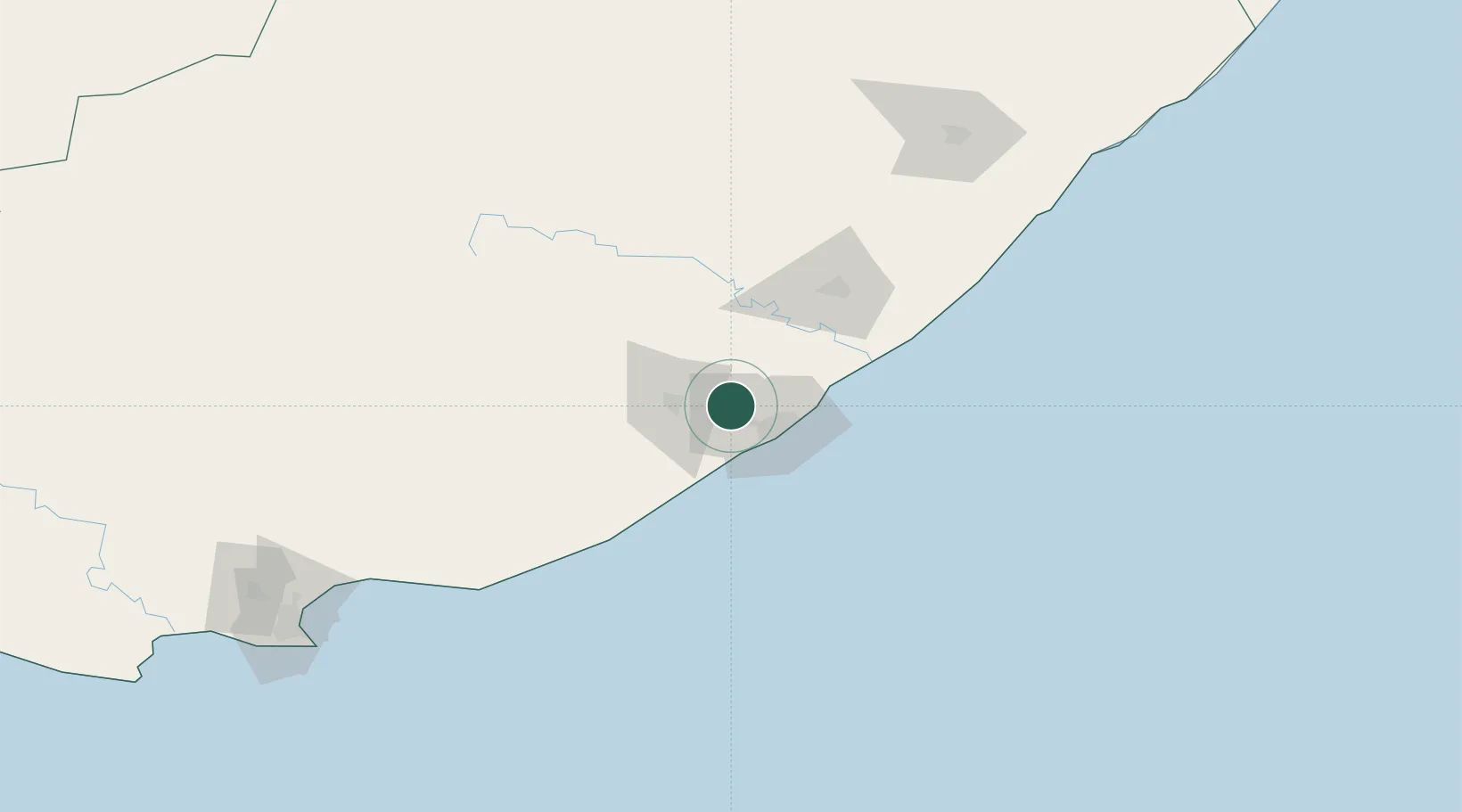
Nearby Logistics Neighbours

Cities
  1. 1Madantsane11 km
  2. 2Dawn16 km
  3. 3Amalinda18 km
  4. 4Chiselhurst20 km
  5. 5Collondale20 km
Nearest neighbours — logibook spatial index (haversine) over the source coordinates
Ports
  1. 1East London27 km
  2. 2Port Elizabeth224 km
  3. 3Durban464 km
  4. 4Mossel Bay533 km
  5. 5Richards Bay619 km
Nearest neighbours — logibook spatial index (haversine) over the source coordinates
Airports
  1. 1King Phalo Airport22 km
  2. 2Bisho Airport38 km
  3. 3Queenstown Airport131 km
  4. 4K. D. Matanzima Airport175 km
  5. 5Port St Johns Airport224 km
Nearest neighbours — logibook spatial index (haversine) over the source coordinates
Trade Zones
  1. 1East London Industrial Development Zone24 km
  2. 2Dimbaza Industrial Park46 km
  3. 3Komani Industrial Park130 km
  4. 4Vulindlela Industrial Park176 km
  5. 5Wild Coast (Mthatha) Special Economic Zone177 km
Nearest neighbours — logibook spatial index (haversine) over the source coordinates
DatabookThe Record of Consolidated Knowledge
South Africa beyond logistics?
Browse databook

All Sources

LocationsUN/LOCODE
UN/LOCODE — free
Portsthe NGA World Port Index
Public domain (US gov)
AirportsOurAirports
Public domain
Trade Zonesthe World Bank SEZ database
CC BY 4.0
Trade ZonesOpen Zone Map
CC BY
← South Africa locations