UN/LOCODE hub · South Africa
ZAJSV
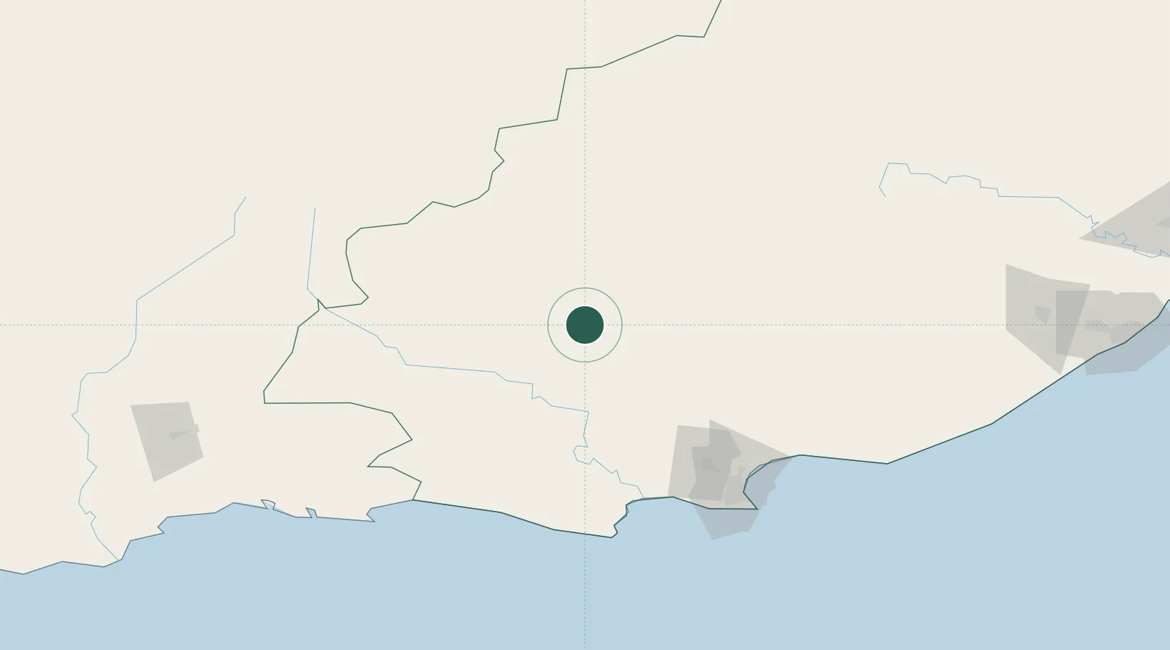
Jansenville
-32.9333°, 24.6667°
6,723
Population
1
Transport functions
Transport Functions
Multimodal
Hub Profile
Place type
District seat
Region
Eastern Cape
Population
6,723
Time zone
Africa/Johannesburg
Elevation
420 m
Location
Nearby Logistics Neighbours
Cities
- 1Graaff Reinet77 km
- 2Somerset East89 km
- 3Patensie92 km
- 4Humansdorp123 km
- 5Perseverance126 km
Ports
- 1Port Elizabeth145 km
- 2Mossel Bay271 km
- 3East London303 km
- 4Cape Town590 km
- 5Simonstown594 km
Airports
- 1Chief Dawid Stuurman International Airport147 km
- 2Plettenberg Bay Airport179 km
- 3Queenstown Airport237 km
- 4Oudtshoorn Airport242 km
- 5George Airport243 km
Trade Zones
DatabookThe Record of Consolidated Knowledge
South Africa beyond logistics?