Medium airport · South Africa

Plettenberg Bay AirportFAPG
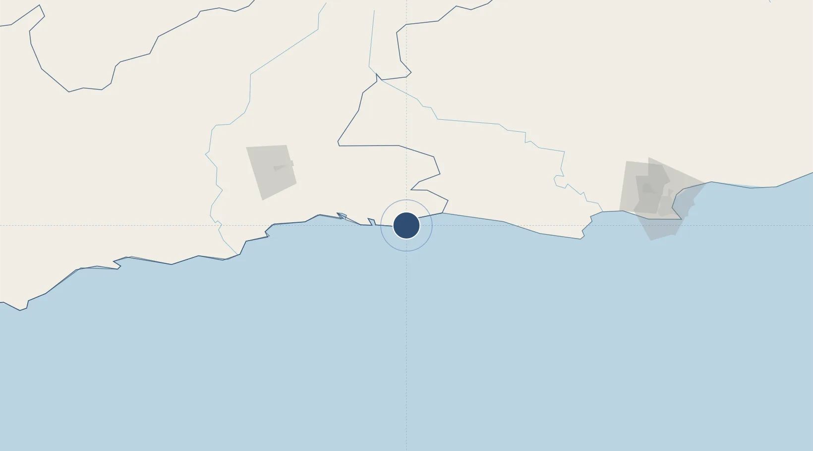
-34.0882°, 23.3287°
4,003 ft
Longest runway
1
Runways
465 ft
Elevation

Runway & Layout

Plettenberg Bay Airport runway & taxiway layout
Runway & taxiway layout — OpenStreetMap (ODbL) / OurAirports

Radio Frequencies

APP
128.2 MHz
George Approach
CTAF
124.8 MHz
OurAirports

Navaids

PY NDB Plettenberg Bay 278 kHz
OurAirports

Runways · 1

RunwayDimensions SurfaceTrue headingLit
12/30 4,003 × 66ft Asphalt 100°
OurAirports

Airport Specifications

IATA code
PBZ
OurAirports
ICAO code
FAPG
OurAirports
Airport class
Medium airport
OurAirports
Scheduled service
No
OurAirports
Runway surface
Asphalt
OurAirports
Served city
Plettenberg Bay
OurAirports

Location

Location of FAPG
Natural Earth 10m (public domain) · Western Cape · FAPG · -34.09, 23.33GoogleOSMYandex

Nearby Logistics Neighbours

Airports
  1. 1George Airport88 km
  2. 2Oudtshoorn Airport118 km
  3. 3Chief Dawid Stuurman International Airport211 km
  4. 4Robertson Airport318 km
  5. 5Bisho Airport390 km
Nearest neighbours — logibook spatial index (haversine) over the source coordinates
Cities
  1. 1Ongelegen40 km
  2. 2Louterwater45 km
  3. 3De Rust100 km
  4. 4Greenhaven104 km
  5. 5Humansdorp133 km
Nearest neighbours — logibook spatial index (haversine) over the source coordinates
Ports
  1. 1Mossel Bay109 km
  2. 2Port Elizabeth214 km
  3. 3East London441 km
  4. 4Simonstown450 km
  5. 5Cape Town453 km
Nearest neighbours — logibook spatial index (haversine) over the source coordinates
Trade Zones
  1. 1Coega Industrial Development Zone219 km
  2. 2Somerset East Industrial Park258 km
  3. 3Dimbaza Industrial Park385 km
  4. 4Komani Industrial Park413 km
  5. 5East London Industrial Development Zone434 km
Nearest neighbours — logibook spatial index (haversine) over the source coordinates
DatabookThe Record of Consolidated Knowledge
South Africa beyond logistics?
Browse databook

All Sources

AirportsOurAirports
Public domain
Portsthe NGA World Port Index
Public domain (US gov)
LocationsUN/LOCODE
UN/LOCODE — free
Trade Zonesthe World Bank SEZ database
CC BY 4.0
Trade ZonesOpen Zone Map
CC BY
InfrastructureOpenStreetMap
ODbL 1.0
← South Africa airports