Large airport · South Africa

Chief Dawid Stuurman International AirportFAPE
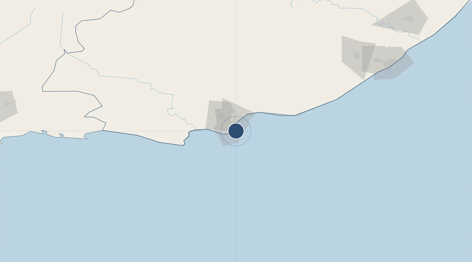
-33.9897°, 25.6174°
7,087 ft
Longest runway
2
Runways
226 ft
Elevation

Runway & Layout

Chief Dawid Stuurman International Airport runway & taxiway layout
Runway & taxiway layout — OpenStreetMap (ODbL) / OurAirports

Radio Frequencies

ATIS
112.9 MHz
TWR
118.1 MHz
APP
120.4 MHz
CLNC
122.1 MHz
Clearance Delivery
GTE
122.65 MHz
APRON
OurAirports

Navaids

PEV VOR-DME Port Elizabeth 112.90 MHz
OurAirports

Runways · 2

RunwayDimensions SurfaceTrue headingLit
08/26 7,087 × 151ft Asphalt 058°
17/35 5,502 × 151ft Asphalt 146°
OurAirports

Airport Specifications

IATA code
PLZ
OurAirports
ICAO code
FAPE
OurAirports
Airport class
Large airport
OurAirports
Scheduled service
Yes
OurAirports
Runway surface
Asphalt
OurAirports
Served city
Gqeberha (Port Elizabeth)
OurAirports

Location

Location of FAPE
Natural Earth 10m (public domain) · Eastern Cape · FAPE · -33.99, 25.62GoogleOSMYandex

Nearby Logistics Neighbours

Airports
  1. 1Bisho Airport196 km
  2. 2Plettenberg Bay Airport211 km
  3. 3King Phalo Airport231 km
  4. 4Queenstown Airport259 km
  5. 5George Airport299 km
Nearest neighbours — logibook spatial index (haversine) over the source coordinates
Cities
  1. 1Summerstrand3 km
  2. 2Springfield6 km
  3. 3Newton Park6 km
  4. 4North End7 km
  5. 5Korsten9 km
Nearest neighbours — logibook spatial index (haversine) over the source coordinates
Ports
  1. 1Port Elizabeth5 km
  2. 2East London238 km
  3. 3Mossel Bay320 km
  4. 4Simonstown662 km
  5. 5Cape Town664 km
Nearest neighbours — logibook spatial index (haversine) over the source coordinates
Trade Zones
  1. 1Coega Industrial Development Zone25 km
  2. 2Somerset East Industrial Park138 km
  3. 3Dimbaza Industrial Park195 km
  4. 4East London Industrial Development Zone232 km
  5. 5Komani Industrial Park261 km
Nearest neighbours — logibook spatial index (haversine) over the source coordinates
DatabookThe Record of Consolidated Knowledge
South Africa beyond logistics?
Browse databook

All Sources

AirportsOurAirports
Public domain
Portsthe NGA World Port Index
Public domain (US gov)
LocationsUN/LOCODE
UN/LOCODE — free
Trade Zonesthe World Bank SEZ database
CC BY 4.0
Trade ZonesOpen Zone Map
CC BY
InfrastructureOpenStreetMap
ODbL 1.0
← South Africa airports