UN/LOCODE hub · South Africa
ZAZBX
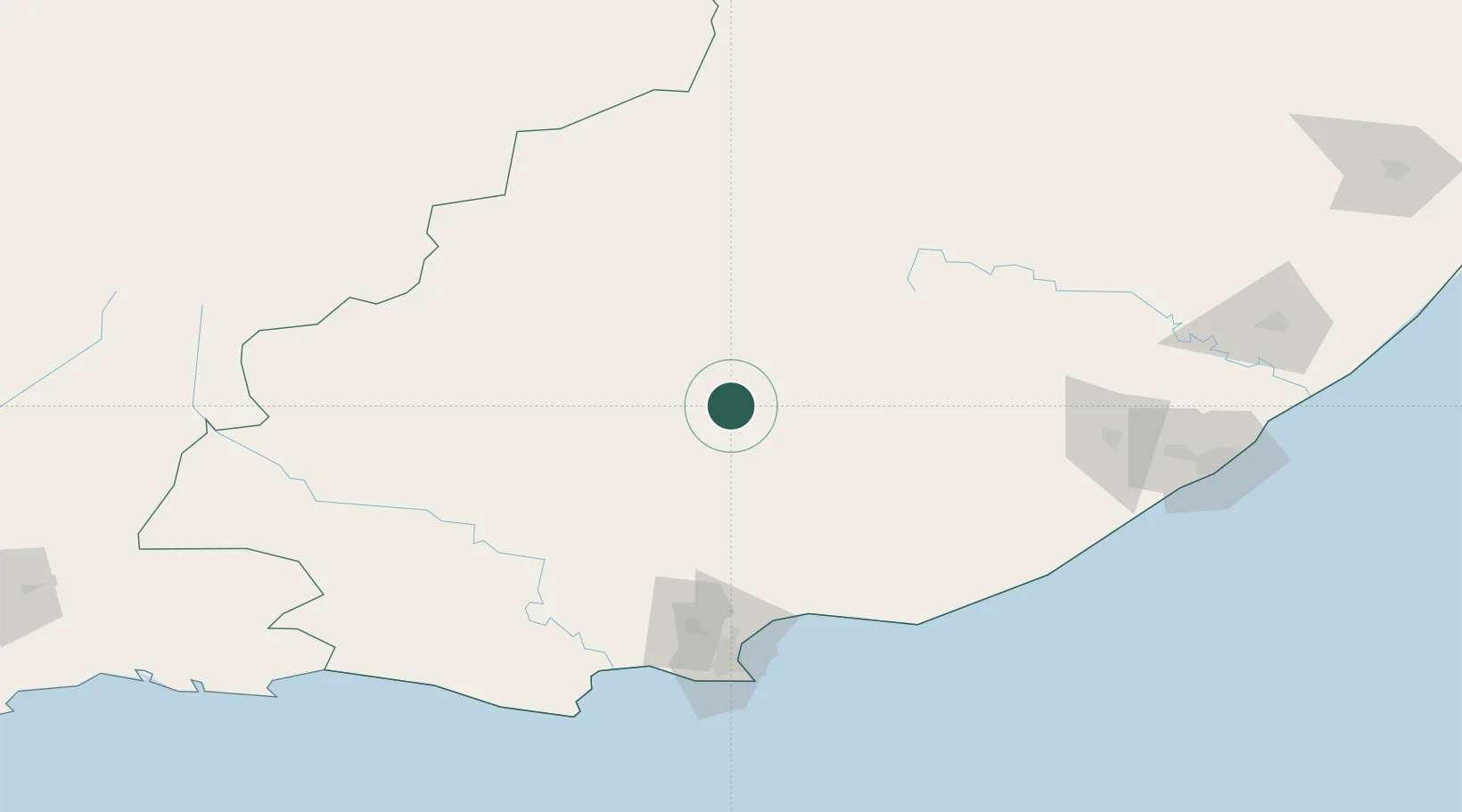
Somerset East
-32.7167°, 25.5833°
22,553
Population
1
Transport functions
Transport Functions
Multimodal
Hub Profile
Place type
District seat
Region
Eastern Cape
Population
22,553
Time zone
Africa/Johannesburg
Elevation
748 m
Location
Nearby Logistics Neighbours
Cities
- 1Adelaide67 km
- 2Jansenville89 km
- 3Eastern Cape92 km
- 4Graaff Reinet110 km
- 5Port of Ngqura117 km
Ports
- 1Port Elizabeth138 km
- 2East London221 km
- 3Mossel Bay358 km
- 4Durban610 km
- 5Cape Town679 km
Airports
- 1Chief Dawid Stuurman International Airport142 km
- 2Queenstown Airport151 km
- 3Bisho Airport160 km
- 4King Phalo Airport212 km
- 5Plettenberg Bay Airport259 km
Trade Zones
DatabookThe Record of Consolidated Knowledge
South Africa beyond logistics?