Seaport · South Africa
Cape TownZACPT
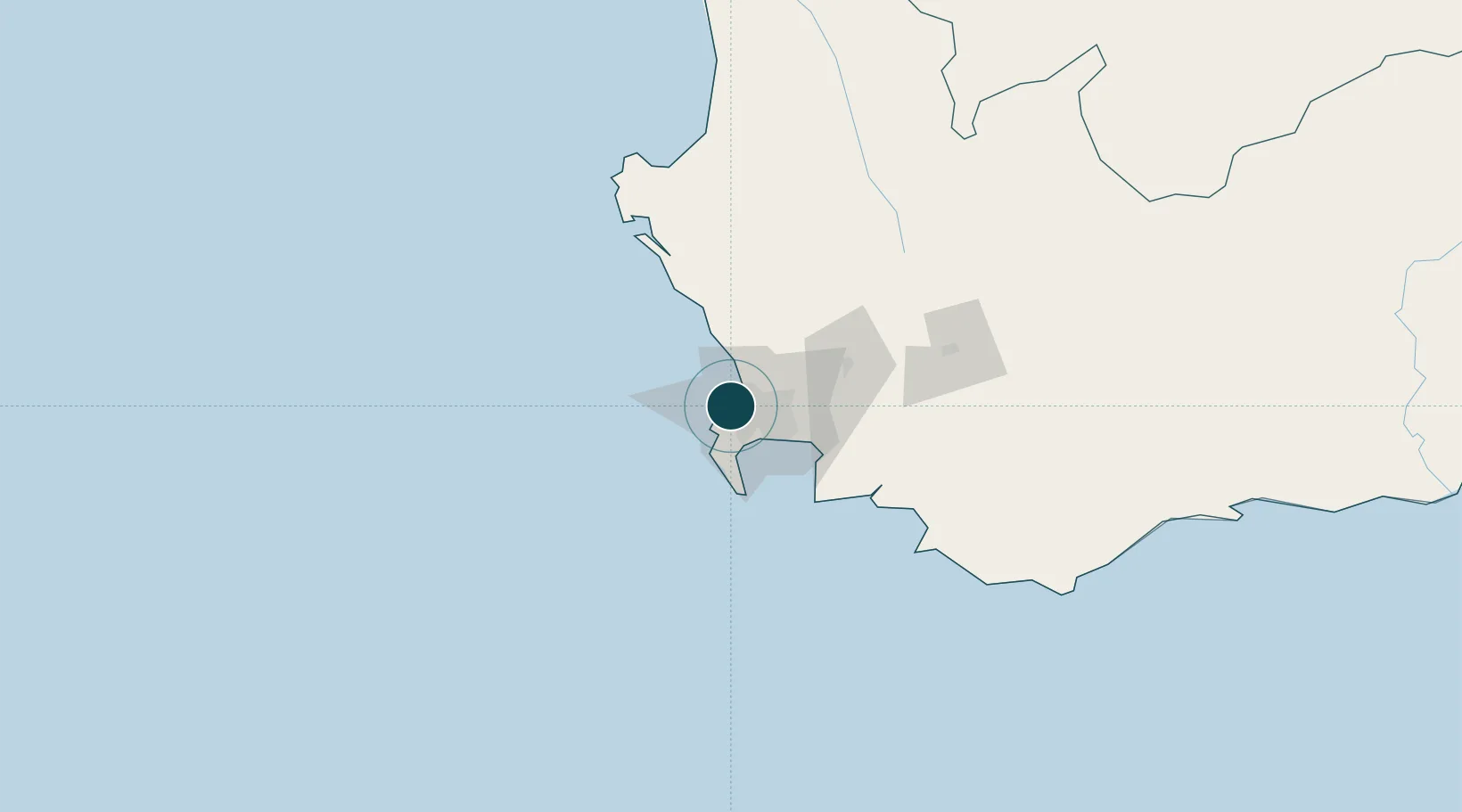
-33.9167°, 18.4167°
15.9 m
Channel depth
3
Container terminals
187.6
Port liner connectivity
Channel & Berth Profile
Pilotage, Tugs & Services
Pilotage compulsoryYES
Pilotage availableYES
Pilotage advisableYES
Tug assistanceYES
Salvage tugsYES
Shore powerYES
Potable waterYES
Diesel bunkersYES
MedicalYES
Garbage disposalYES
Facilities & Capabilities
Container—
Ro-Ro—
Liquid bulk—
Dry bulk—
Oil terminal—
Break bulk—
Dry dockNO
RepairsNO
BunkeringYES
Rail linkYES
Dangerous cargo—
ISPS security—
Harbour Specifications
Harbour size
Large
Harbour type
Coastal (Breakwater)
Shelter
Good
Water body
South Atlantic Ocean
Tidal range
1.2 m
Overhead limit
Yes
Pilotage
Yes
Liner Connectivity
187.6
PLSCI
Port Liner Shipping Connectivity Index for Cape Town, as published by UNCTAD for the latest available quarter. Higher values indicate stronger scheduled liner-shipping integration.
Shown relative to the highest per-port PLSCI in the dataset (1,657.9).
Location
Container Terminals · 3
FRESH PRODUCE TERMINAL
FPT FPT GROUP
MULTI PURPOSE TERMINAL (MPT)
TNCM TRANSNET PORT TERMINALS
TRANSNET PORT TERMINALS CAPE TOWN
TNCT TRANSNET PORT TERMINALS
Nearby Logistics Neighbours
Ports
- 1Simonstown30 km
- 2Saldanha Bay107 km
- 3Mossel Bay345 km
- 4Port Elizabeth667 km
- 5Luderitz Bay867 km
Cities
- 1Ben Schoeman Dock2 km
- 2Oranjezicht2 km
- 3De Waterkant2 km
- 4Salt River3 km
- 5Sea Point3 km
Airports
- 1Ysterplaat Air Force Base8 km
- 2Cape Town International Airport18 km
- 3Langebaanweg Airport108 km
- 4Saldanha/Vredenburg Airport114 km
- 5Robertson Airport138 km
Trade Zones
DatabookThe Record of Consolidated Knowledge
South Africa beyond logistics?