Special Economic Zone · South Africa

Coega Industrial Development Zone Active
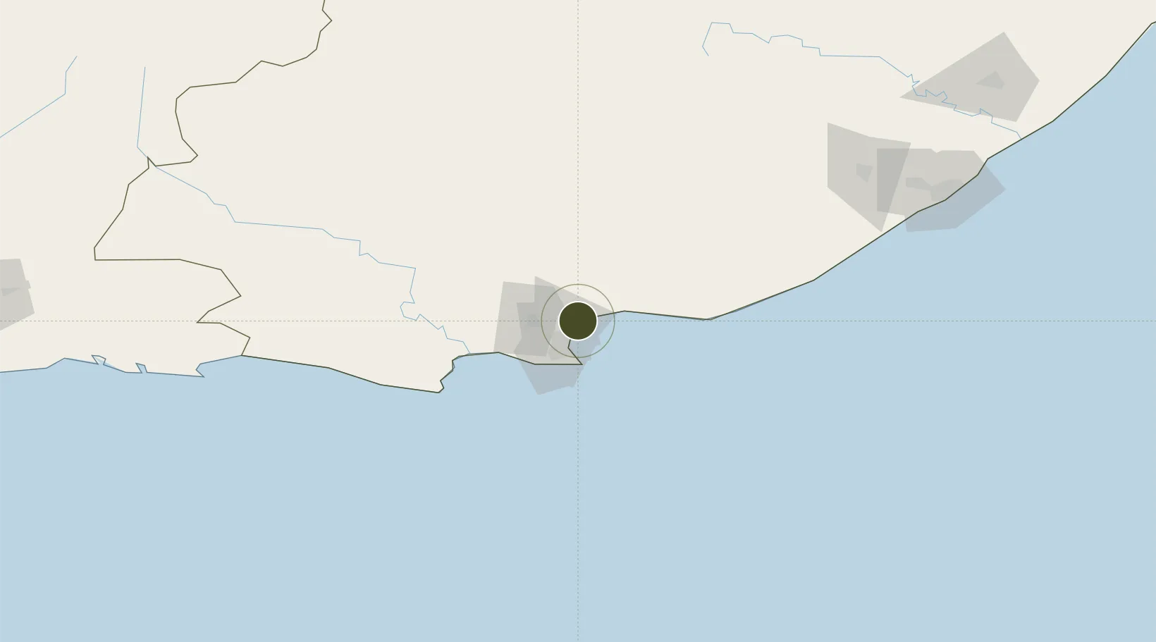
-33.7711°, 25.6740°
9,003 ha
Zone area
20.3 km
Nearest port
24.9 km
Nearest airport

Gateway access

Nearest neighbours — logibook spatial index (haversine) over the source coordinates

Zone profile

Zone type
Special Economic Zone
the World Bank SEZ database
Region
Eastern Cape
the World Bank SEZ database
Status
Active
the World Bank SEZ database
Established
2001
the World Bank SEZ database
Management
State-owned enterprise
the World Bank SEZ database
Operator
Coega Development Corporation
the World Bank SEZ database
Regulatory authority
Special Economic Zones Advisory Board
the World Bank SEZ database
Legal framework
Special Economic Zones Act, No 16
the World Bank SEZ database

Location

Location of ZAF1
Natural Earth 10m (public domain) · Eastern Cape · ZAF1 · -33.77, 25.67GoogleOSMYandex

Fiscal & incentives

Corporate tax
28%
the World Bank SEZ database
Tax relief
Reduced fixed-rate at 15%
the World Bank SEZ database
Relief duration
Perpetual
the World Bank SEZ database
VAT
No exemption
the World Bank SEZ database
Import duty (inputs)
100% exempt
the World Bank SEZ database
Import duty (capex)
100% exempt
the World Bank SEZ database
Profit repatriation
No exemption
the World Bank SEZ database
Capital gains
No exemption
the World Bank SEZ database
Withholding tax
No exemption
the World Bank SEZ database
Min. investment
None
the World Bank SEZ database
Min. export
0%
the World Bank SEZ database
Employment incentive
Employment tax incentive
the World Bank SEZ database
Developer incentive
No established framework
the World Bank SEZ database

Nearby Logistics Neighbours

Ports
  1. 1Port Elizabeth20 km
  2. 2East London224 km
  3. 3Mossel Bay328 km
  4. 4Simonstown669 km
  5. 5Durban669 km
Nearest neighbours — logibook spatial index (haversine) over the source coordinates
Airports
  1. 1Chief Dawid Stuurman International Airport25 km
  2. 2Bisho Airport178 km
  3. 3King Phalo Airport216 km
  4. 4Plettenberg Bay Airport219 km
  5. 5Queenstown Airport235 km
Nearest neighbours — logibook spatial index (haversine) over the source coordinates
Cities
  1. 1Port of Ngqura1 km
  2. 2Coega4 km
  3. 3Port Elizabeth12 km
  4. 4New Brighton West14 km
  5. 5Perseverance15 km
Nearest neighbours — logibook spatial index (haversine) over the source coordinates
Trade Zones
  1. 1Somerset East Industrial Park114 km
  2. 2Dimbaza Industrial Park176 km
  3. 3East London Industrial Development Zone217 km
  4. 4Komani Industrial Park237 km
  5. 5Wild Coast (Mthatha) Special Economic Zone376 km
Nearest neighbours — logibook spatial index (haversine) over the source coordinates
DatabookThe Record of Consolidated Knowledge
South Africa beyond logistics?
Browse databook

All Sources

Trade Zonesthe World Bank SEZ database
CC BY 4.0
Portsthe NGA World Port Index
Public domain (US gov)
AirportsOurAirports
Public domain
LocationsUN/LOCODE
UN/LOCODE — free
← South Africa trade zones