UN/LOCODE hub · South Africa
ZAZCB
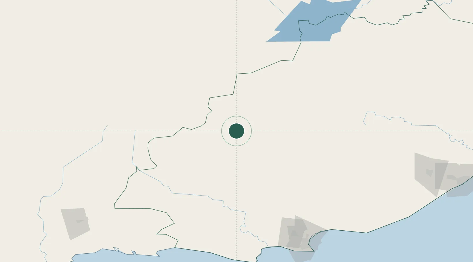
Graaff Reinet
-32.2500°, 24.5500°
62,896
Population
1
Transport functions
Transport Functions
Multimodal
Hub Profile
Place type
District seat
Region
Eastern Cape
Population
62,896
Time zone
Africa/Johannesburg
Elevation
756 m
Location
Nearby Logistics Neighbours
Cities
- 1Jansenville77 km
- 2Murraysburg81 km
- 3Somerset East110 km
- 4Amsterdam123 km
- 5Patensie169 km
Ports
- 1Port Elizabeth215 km
- 2Mossel Bay310 km
- 3East London327 km
- 4Cape Town601 km
- 5Simonstown608 km
Airports
- 1Chief Dawid Stuurman International Airport218 km
- 2Queenstown Airport223 km
- 3Plettenberg Bay Airport234 km
- 4Bisho Airport266 km
- 5Oudtshoorn Airport267 km
Trade Zones
DatabookThe Record of Consolidated Knowledge
South Africa beyond logistics?