Free Trade Zone · Palestinian Territories

Jenin Industrial Free Zone (JIFZ) Under Development
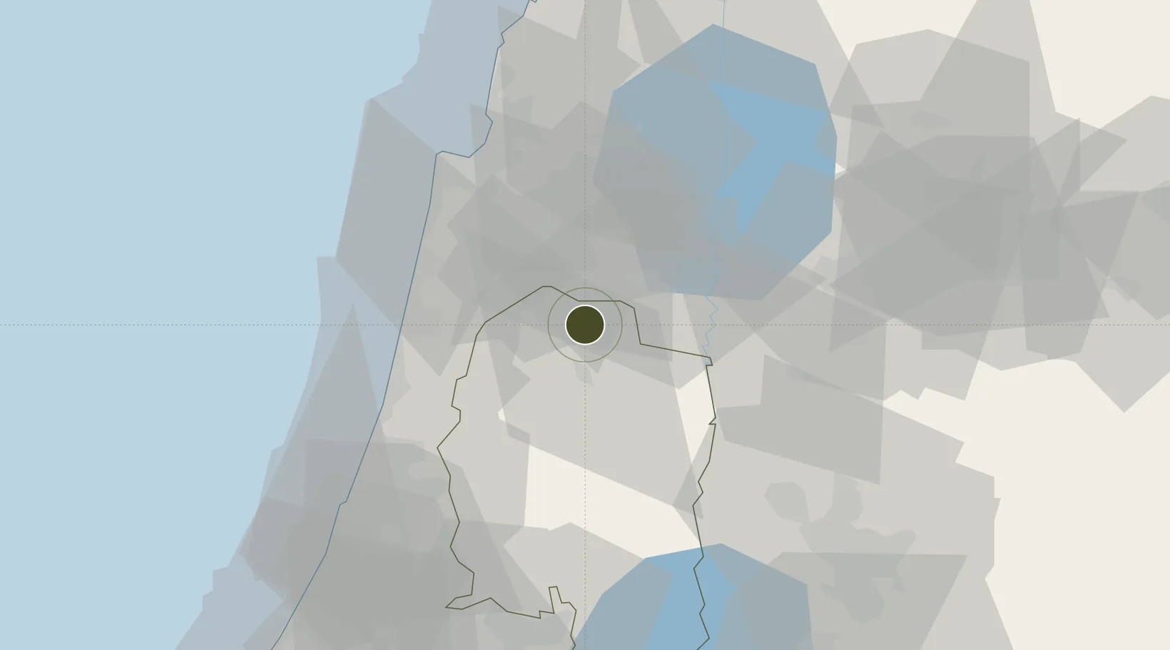
32.4573°, 35.2847°
95 ha
Zone area
36.1 km
Nearest port
25.1 km
Nearest airport

Gateway access

Nearest neighbours — logibook spatial index (haversine) over the source coordinates

Zone profile

Zone type
Free Trade Zone
Open Zone Map
Region
West Bank
Open Zone Map
Status
Under Development
Open Zone Map
Management
Public-Private Partnership
Open Zone Map
Operator
The Turkish Industrial Estate Developer TOBB-BIS, KFW Group & PIEFZA
Open Zone Map
Legal framework
Law No. 10 of 1998 on Industrial Estates and Industrial Free Zones
Open Zone Map

Location

Location of ozm-3058
Natural Earth 10m (public domain) · West Bank · ozm-3058 · 32.46, 35.28GoogleOSMYandex

Nearby Logistics Neighbours

Ports
  1. 1Hadera36 km
  2. 2Haifa48 km
  3. 3Ashdod93 km
  4. 4Ashqelon115 km
  5. 5Sayda116 km
Nearest neighbours — logibook spatial index (haversine) over the source coordinates
Airports
  1. 1Ramat David Air Base25 km
  2. 2Uri Michaeli Haifa International Airport45 km
  3. 3Ben Gurion International Airport62 km
  4. 4Rosh Pina Airport64 km
  5. 5Tel Nof Air Base81 km
Nearest neighbours — logibook spatial index (haversine) over the source coordinates
Cities
  1. 1Beit Shean Rail Terminal21 km
  2. 2Ma'anit24 km
  3. 3Arava Terminal Zin27 km
  4. 4Nabulus27 km
  5. 5Nazareth27 km
Nearest neighbours — logibook spatial index (haversine) over the source coordinates
Trade Zones
  1. 1Ajloun Ajlun Development Zone46 km
  2. 2Jarash Development Zone55 km
  3. 3Al-Salt Development Zone59 km
  4. 4Al-Karama Free Zone62 km
  5. 5Irbid Development Area65 km
Nearest neighbours — logibook spatial index (haversine) over the source coordinates
DatabookThe Record of Consolidated Knowledge
Palestinian Territories beyond logistics?
Browse databook

All Sources

Trade ZonesOpen Zone Map
CC BY
Portsthe NGA World Port Index
Public domain (US gov)
AirportsOurAirports
Public domain
LocationsUN/LOCODE
UN/LOCODE — free
← Palestinian Territories trade zones