Large airport · Israel

Ben Gurion International AirportLLBG
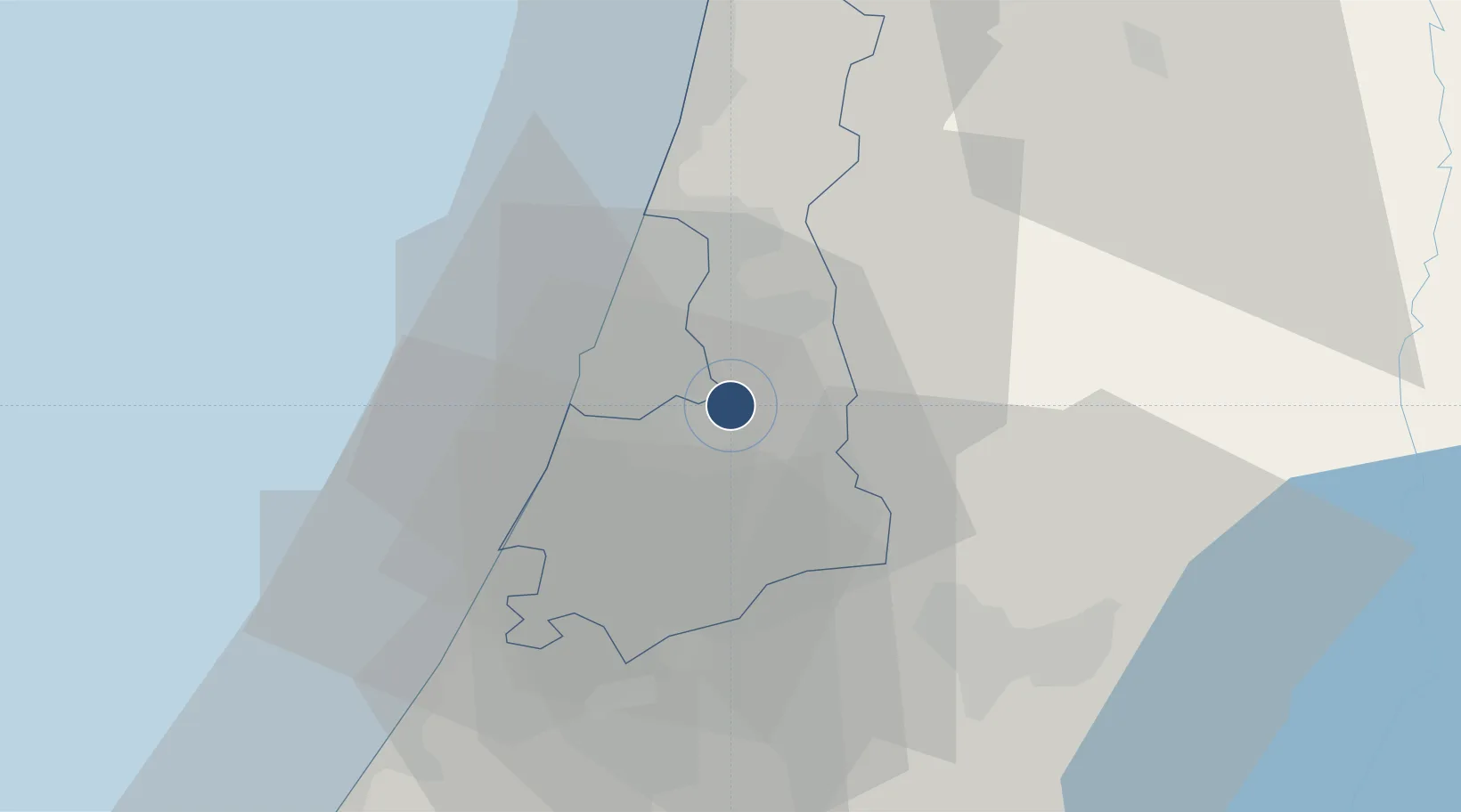
32.0114°, 34.8867°
13,327 ft
Longest runway
3
Runways
135 ft
Elevation

Runway & Layout

Ben Gurion International Airport runway & taxiway layout
Runway & taxiway layout — OpenStreetMap (ODbL) / OurAirports

Radio Frequencies

ATIS
132.5 MHz
TWR
134.6 MHz
Ben Gurion Tower
GND
118.05 MHz
Ben Gurion Ground
GND
129.2 MHz
Ben Gurion Ground/Delivery
APP
120.5 MHz
Ben Gurion Approach
CTR
121.4 MHz
Tel Aviv Control
OurAirports

Navaids

BGN VOR-DME Ben Gurion 113.50 MHz
LL NDB Tel Aviv 331 kHz
OurAirports

Runways · 3

RunwayDimensions SurfaceTrue headingLit
08/26 13,327 × 148ft Asphalt 080°
12/30 10,209 × 148ft Asphalt 121°
03/21 9,094 × 197ft Asphalt 029°
OurAirports

Airport Specifications

IATA code
TLV
OurAirports
ICAO code
LLBG
OurAirports
Airport class
Large airport
OurAirports
Scheduled service
Yes
OurAirports
Runway surface
Asphalt
OurAirports
Served city
Tel Aviv
OurAirports

Location

Location of LLBG
Natural Earth 10m (public domain) · HaMerkaz · LLBG · 32.01, 34.89GoogleOSMYandex

Nearby Logistics Neighbours

Airports
  1. 1Tel Nof Air Base20 km
  2. 2Ramat David Air Base78 km
  3. 3Bar Yehuda Airfield90 km
  4. 4Uri Michaeli Haifa International Airport90 km
  5. 5Nevatim Air Base90 km
Nearest neighbours — logibook spatial index (haversine) over the source coordinates
Cities
  1. 1Magshimim3 km
  2. 2Savyon3 km
  3. 3Bet Dagan7 km
  4. 4Lod Overseas7 km
  5. 5Post Office Lod7 km
Nearest neighbours — logibook spatial index (haversine) over the source coordinates
Ports
  1. 1Ashdod31 km
  2. 2Hadera51 km
  3. 3Ashqelon53 km
  4. 4Haifa90 km
  5. 5Al Arish138 km
Nearest neighbours — logibook spatial index (haversine) over the source coordinates
Trade Zones
  1. 1Bethlehem Industrial Estate -BIE45 km
  2. 2Jericho Argo- Industrial Park (JAIP)56 km
  3. 3Jenin Industrial Free Zone (JIFZ)62 km
  4. 4Al-Karama Free Zone64 km
  5. 5Gaza Industrial Estate (GIE)71 km
Nearest neighbours — logibook spatial index (haversine) over the source coordinates
DatabookThe Record of Consolidated Knowledge
Israel beyond logistics?
Browse databook

All Sources

AirportsOurAirports
Public domain
Portsthe NGA World Port Index
Public domain (US gov)
LocationsUN/LOCODE
UN/LOCODE — free
Trade Zonesthe World Bank SEZ database
CC BY 4.0
Trade ZonesOpen Zone Map
CC BY
InfrastructureOpenStreetMap
ODbL 1.0
← Israel airports