Seaport · Israel

AshdodILASH

31.8167°, 34.6500°
2
Container terminals
284.5
Port liner connectivity
Ashdod is also a UN/LOCODE logistics hub →

Channel & Berth Profile

SEA LEVEL (CD)CHANNEL BEDCargo pier · 15.5 mOil terminal · 15.5 mAnchorage · 23.2 m
NGA World Port Index

Pilotage, Tugs & Services

Pilotage compulsoryYES
Pilotage availableYES
Pilotage advisableYES
Tug assistanceYES
Potable waterYES
MedicalYES
Garbage disposalYES
NGA World Port Index

Facilities & Capabilities

Container
Ro-Ro
Liquid bulk
Dry bulk
Oil terminal
Break bulk
Dry dock
RepairsNO
BunkeringYES
Rail linkYES
Dangerous cargo
ISPS security
NGA World Port Index

Harbour Specifications

Harbour size
Small
NGA World Port Index
Harbour type
Coastal (Breakwater)
NGA World Port Index
Shelter
Fair
NGA World Port Index
Water body
Mediterranean Sea; North Atlantic Ocean
NGA World Port Index
Pilotage
Yes
NGA World Port Index

Liner Connectivity

284.5
PLSCI

Port Liner Shipping Connectivity Index for Ashdod, as published by UNCTAD for the latest available quarter. Higher values indicate stronger scheduled liner-shipping integration.

Shown relative to the highest per-port PLSCI in the dataset (1,657.9).
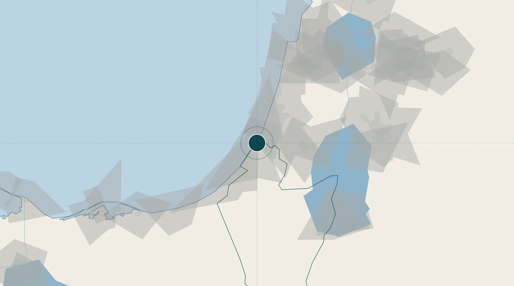
UNCTAD · Port Liner Shipping Connectivity Index

Location

Location of ILASH
Natural Earth 10m (public domain) · HaDarom · ILASH · 31.82, 34.65GoogleOSMYandex

Container Terminals · 2

ASHDOD PORT CO., LTD.
APCL
HADAROM CONTAINER TERMINAL
HCT TERMINAL INVESTMENT LTD. (TIL) / MSC
SMDG Terminal Code List

Nearby Logistics Neighbours

Ports
  1. 1Ashqelon22 km
  2. 2Hadera76 km
  3. 3Al Arish107 km
  4. 4Haifa116 km
  5. 5Sayda198 km
Nearest neighbours — logibook spatial index (haversine) over the source coordinates
Cities
  1. 1Ashdod Bonded Air0 km
  2. 2Ashdod Fridenson0 km
  3. 3Ashdod Granaries0 km
  4. 4Ashdod Southport0 km
  5. 5Ashdod Bonded0 km
Nearest neighbours — logibook spatial index (haversine) over the source coordinates
Airports
  1. 1Tel Nof Air Base16 km
  2. 2Ben Gurion International Airport31 km
  3. 3Nevatim Air Base76 km
  4. 4Bar Yehuda Airfield89 km
  5. 5El Jora Airport95 km
Nearest neighbours — logibook spatial index (haversine) over the source coordinates
Trade Zones
  1. 1Gaza Industrial Estate (GIE)41 km
  2. 2Bethlehem Industrial Estate -BIE53 km
  3. 3Jericho Argo- Industrial Park (JAIP)75 km
  4. 4Al-Karama Free Zone88 km
  5. 5Jenin Industrial Free Zone (JIFZ)93 km
Nearest neighbours — logibook spatial index (haversine) over the source coordinates
DatabookThe Record of Consolidated Knowledge
Israel beyond logistics?
Browse databook

All Sources

Portsthe NGA World Port Index
Public domain (US gov)
Logistics performanceUNCTAD
CC BY 3.0 IGO
Portsthe SMDG Terminal Code List
UN/LOCODE — free, attribution
AirportsOurAirports
Public domain
LocationsUN/LOCODE
UN/LOCODE — free
Trade Zonesthe World Bank SEZ database
CC BY 4.0
Trade ZonesOpen Zone Map
CC BY
← Israel ports