Channel & Berth Profile
Pilotage, Tugs & Services
Pilotage compulsoryYES
Pilotage availableYES
Potable waterYES
Diesel bunkersYES
MedicalYES
Garbage disposalYES
Facilities & Capabilities
Container—
Ro-Ro—
Liquid bulk—
Dry bulk—
Oil terminal—
Break bulk—
Dry dock—
RepairsNO
BunkeringYES
Rail linkYES
Dangerous cargo—
ISPS security—
Harbour Specifications
Harbour size
Very Small
Harbour type
Open Roadstead
Shelter
Fair
Water body
Mediterranean Sea; North Atlantic Ocean
Pilotage
Yes
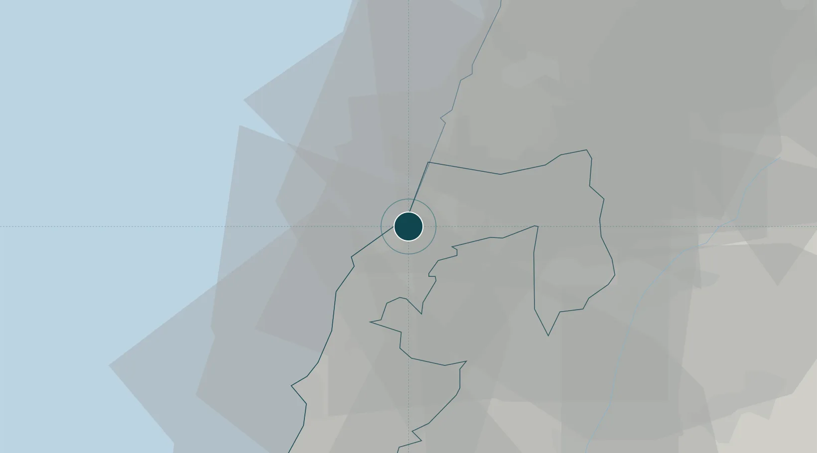
Location
Nearby Logistics Neighbours
Ports
- 1Sidon/zahrani Terminal5 km
- 2Bayrut47 km
- 3Haifa83 km
- 4Selaata92 km
- 5Tarabulus115 km
Cities
- 1Bchamoun33 km
- 2Gush Halav38 km
- 3Haddatha39 km
- 4Beirut47 km
- 5Dora51 km
Airports
Trade Zones
DatabookThe Record of Consolidated Knowledge
Lebanon beyond logistics?