Channel & Berth Profile
Pilotage, Tugs & Services
Pilotage compulsoryYES
Pilotage availableYES
Pilotage advisableYES
Tug assistanceYES
Potable waterNO
Diesel bunkersNO
MedicalYES
Garbage disposalYES
Facilities & Capabilities
Container—
Ro-Ro—
Liquid bulk—
Dry bulk—
Oil terminal—
Break bulk—
Dry dock—
RepairsNO
BunkeringNO
Rail linkYES
Dangerous cargo—
ISPS security—
Harbour Specifications
Harbour size
Very Small
Harbour type
Open Roadstead
Shelter
Fair
Water body
Mediterranean Sea; North Atlantic Ocean
Overhead limit
No
Pilotage
Yes
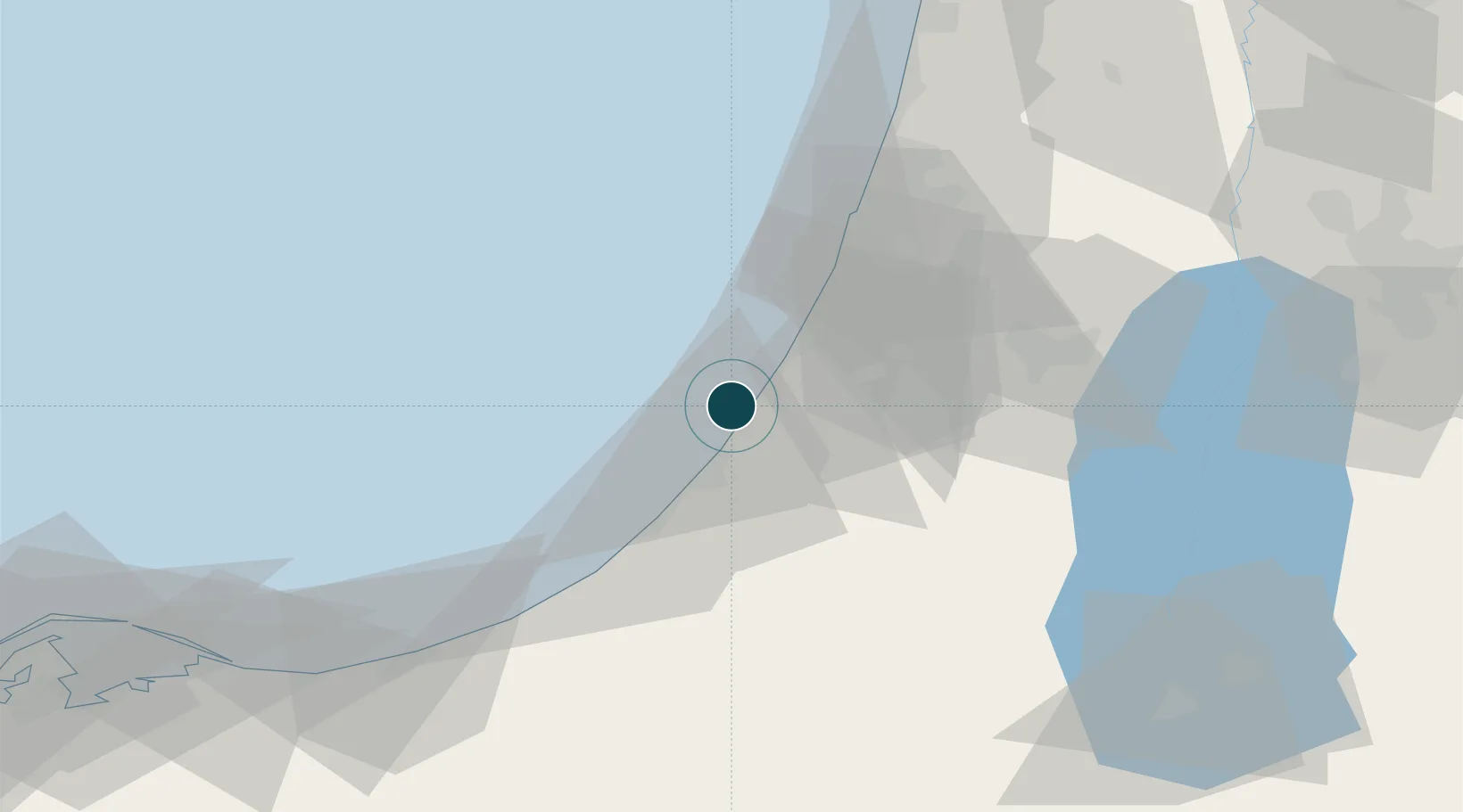
Location
Nearby Logistics Neighbours
Cities
- 1Julis14 km
- 2Ashdod Logisticare21 km
- 3Ashdod Bonded Air22 km
- 4Ashdod Fridenson22 km
- 5Ashdod Granaries22 km
Airports
- 1Tel Nof Air Base36 km
- 2Ben Gurion International Airport53 km
- 3Nevatim Air Base70 km
- 4El Jora Airport73 km
- 5Bar Yehuda Airfield92 km
Trade Zones
DatabookThe Record of Consolidated Knowledge
Israel beyond logistics?