Seaport · Israel
HaifaILHFA
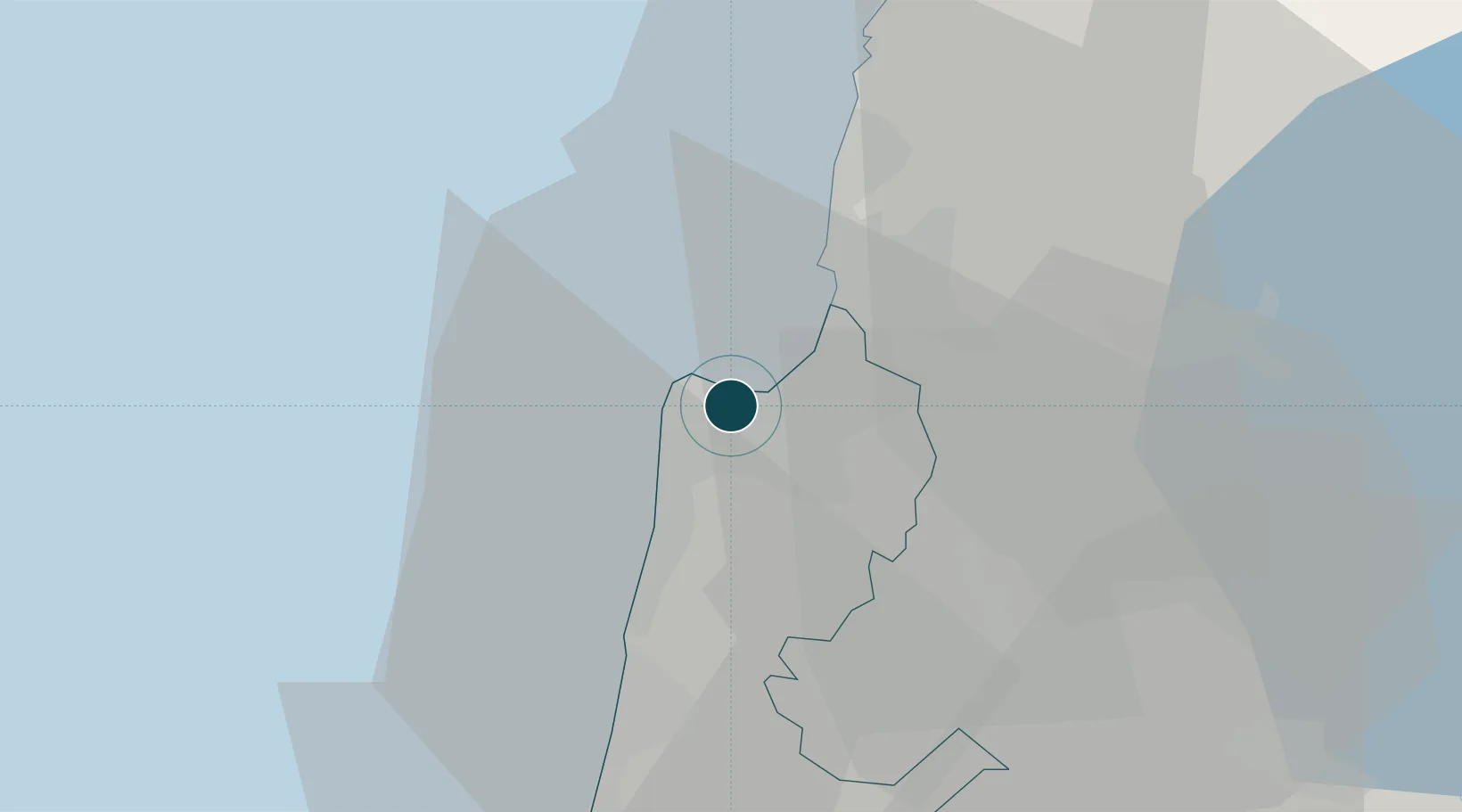
32.8167°, 35.0000°
12.5 m
Channel depth
2
Container terminals
225.4
Port liner connectivity
Channel & Berth Profile
Pilotage, Tugs & Services
Pilotage compulsoryYES
Pilotage availableYES
Pilotage advisableYES
Tug assistanceYES
MedicalYES
Garbage disposalYES
Facilities & Capabilities
Container—
Ro-Ro—
Liquid bulk—
Dry bulk—
Oil terminal—
Break bulk—
Dry dock—
RepairsNO
Bunkering—
Rail linkYES
Dangerous cargo—
ISPS security—
Harbour Specifications
Harbour size
Medium
Harbour type
Coastal (Breakwater)
Shelter
Good
Water body
Mediterranean Sea; North Atlantic Ocean
Tidal range
1 m
Overhead limit
No
Pilotage
Yes
Liner Connectivity
225.4
PLSCI
Port Liner Shipping Connectivity Index for Haifa, as published by UNCTAD for the latest available quarter. Higher values indicate stronger scheduled liner-shipping integration.
Shown relative to the highest per-port PLSCI in the dataset (1,657.9).
Location
Container Terminals · 2
HAIFA BAYPORT TERMINAL
BAYP SIPG BAYPORT TERMINAL CO., LTD.
HAIFA PORT CO., LTD.
HPCL
Nearby Logistics Neighbours
Ports
- 1Hadera40 km
- 2Sayda83 km
- 3Sidon/zahrani Terminal85 km
- 4Ashdod116 km
- 5Bayrut129 km
Cities
- 1Haifa Bayport2 km
- 2Haifa Granaries2 km
- 3Haifa Meshakef2 km
- 4Haifa Israel Shipyards Port2 km
- 5Haifa Overseas2 km
Airports
Trade Zones
DatabookThe Record of Consolidated Knowledge
Israel beyond logistics?