Transport Functions
Multimodal
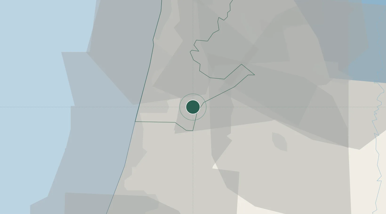
Hub Profile
Place type
Populated place
Region
Haifa
Population
812
Time zone
Asia/Jerusalem
Elevation
67 m
Location
Nearby Logistics Neighbours
Cities
- 1Binyamina-Giv'at Ada12 km
- 2Givat Haim13 km
- 3Emek Hefer Industrial Park15 km
- 4Kfar Vitkin18 km
- 5Netanya20 km
Airports
Trade Zones
DatabookThe Record of Consolidated Knowledge
Israel beyond logistics?