Medium airport · Israel

Ramat David Air BaseLLRD
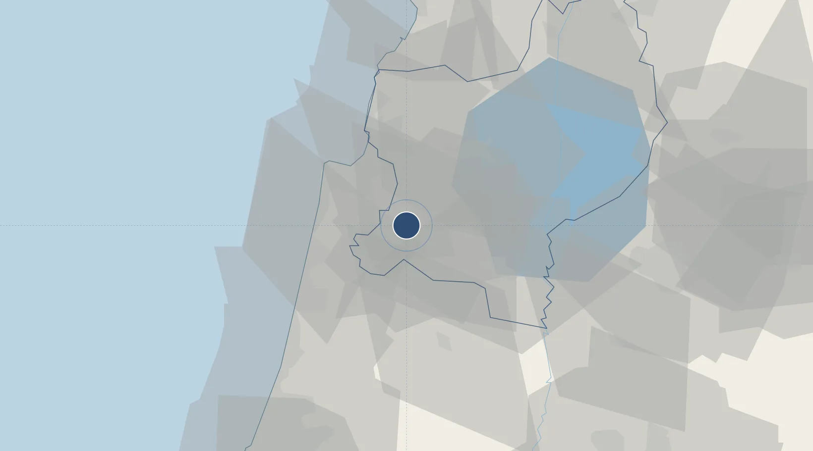
32.6651°, 35.1795°
8,550 ft
Longest runway
3
Runways
185 ft
Elevation

Runway & Layout

Ramat David Air Base runway & taxiway layout
Runway & taxiway layout — OpenStreetMap (ODbL) / OurAirports

Radio Frequencies

TWR
118.6 MHz
APP
125.8 MHz
TEL AVIV
OurAirports

Runways · 3

RunwayDimensions SurfaceTrue headingLit
09/27 8,550 × 145ft Asphalt 086°
11/29 7,975 × 115ft Asphalt 108°
15/33 7,895 × 150ft Asphalt 145°
OurAirports

Airport Specifications

ICAO code
LLRD
OurAirports
Airport class
Medium airport
OurAirports
Scheduled service
No
OurAirports
Runway surface
Asphalt
OurAirports
Served city
Haifa
OurAirports

Location

Location of LLRD
Natural Earth 10m (public domain) · HaZafon · LLRD · 32.67, 35.18GoogleOSMYandex

Nearby Logistics Neighbours

Airports
  1. 1Uri Michaeli Haifa International Airport21 km
  2. 2Rosh Pina Airport51 km
  3. 3Ben Gurion International Airport78 km
  4. 4Tel Nof Air Base98 km
  5. 5Marka International (Amman Civil) Airport108 km
Nearest neighbours — logibook spatial index (haversine) over the source coordinates
Cities
  1. 1Nazareth12 km
  2. 2Shefar'am15 km
  3. 3Qiryat Ata Milenium Terminal17 km
  4. 4Haifa21 km
  5. 5Haifa Bayport24 km
Nearest neighbours — logibook spatial index (haversine) over the source coordinates
Ports
  1. 1Haifa24 km
  2. 2Hadera34 km
  3. 3Sayda94 km
  4. 4Sidon/zahrani Terminal97 km
  5. 5Ashdod107 km
Nearest neighbours — logibook spatial index (haversine) over the source coordinates
Trade Zones
  1. 1Jenin Industrial Free Zone (JIFZ)25 km
  2. 2Ajloun Ajlun Development Zone65 km
  3. 3Jarash Development Zone75 km
  4. 4Irbid Development Area77 km
  5. 5Al-Hassan Industrial estate82 km
Nearest neighbours — logibook spatial index (haversine) over the source coordinates
DatabookThe Record of Consolidated Knowledge
Israel beyond logistics?
Browse databook

All Sources

AirportsOurAirports
Public domain
Portsthe NGA World Port Index
Public domain (US gov)
LocationsUN/LOCODE
UN/LOCODE — free
Trade Zonesthe World Bank SEZ database
CC BY 4.0
Trade ZonesOpen Zone Map
CC BY
InfrastructureOpenStreetMap
ODbL 1.0
← Israel airports