Specialized Zone · Jordan

Irbid Development Area Active
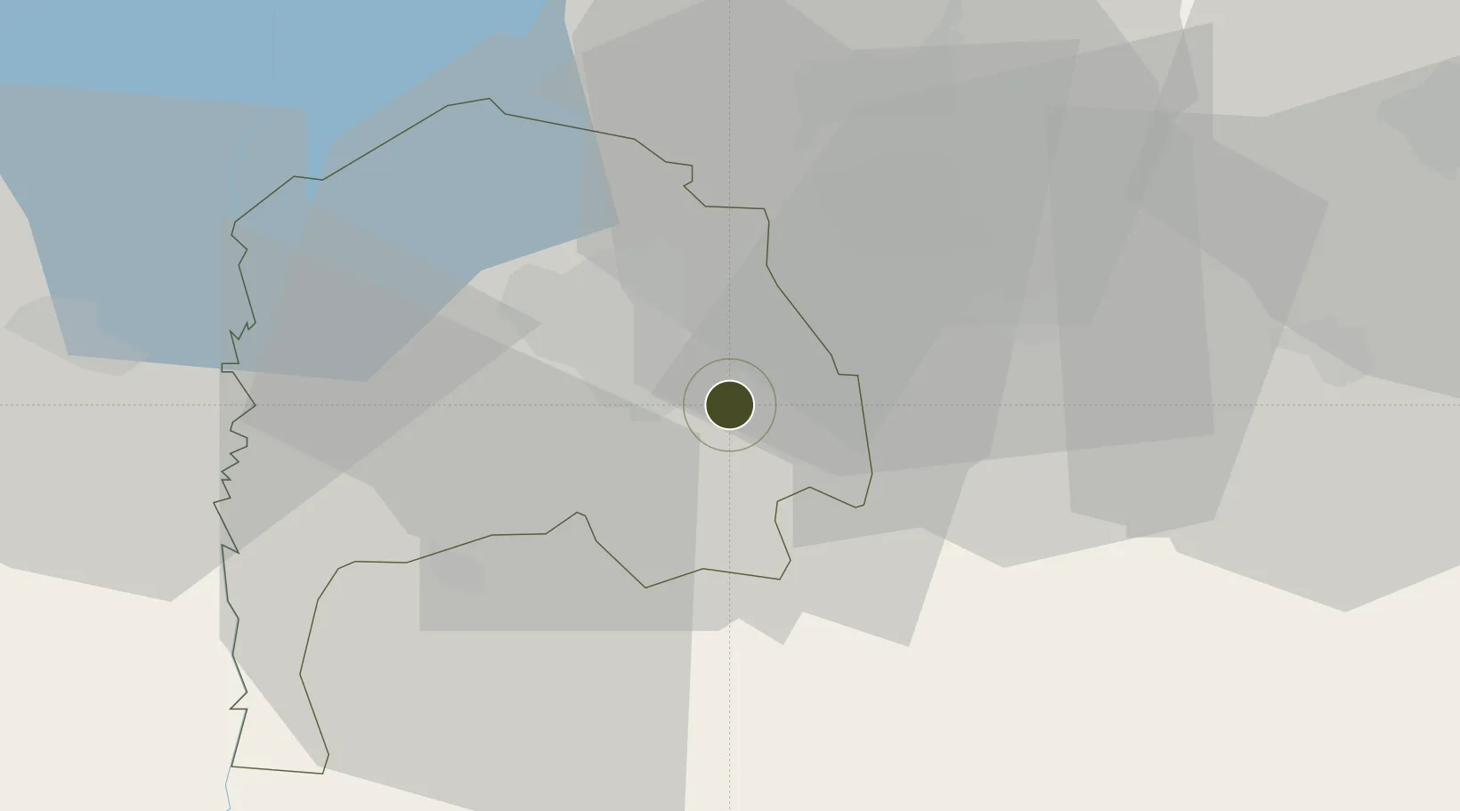
32.4914°, 35.9753°
320 ha
Zone area
98.2 km
Nearest port
57.7 km
Nearest airport

Gateway access

Nearest neighbours — logibook spatial index (haversine) over the source coordinates

Zone profile

Zone type
Specialized Zone
Open Zone Map
Specialization
Medical
Open Zone Map
Region
Irbid
Open Zone Map
Status
Active
Open Zone Map
Management
Public
Open Zone Map
Operator
Jordan Investment Commission
Open Zone Map
Legal framework
The Investment Law No. (30) of 2014.
Open Zone Map

Location

Location of ozm-2634
Natural Earth 10m (public domain) · Irbid · ozm-2634 · 32.49, 35.98GoogleOSMYandex

Nearby Logistics Neighbours

Ports
  1. 1Haifa98 km
  2. 2Hadera101 km
  3. 3Sayda126 km
  4. 4Sidon/zahrani Terminal131 km
  5. 5Ashdod146 km
Nearest neighbours — logibook spatial index (haversine) over the source coordinates
Airports
  1. 1Marka International (Amman Civil) Airport58 km
  2. 2Rosh Pina Airport66 km
  3. 3Ramat David Air Base77 km
  4. 4Khalkhalah Air Base85 km
  5. 5Queen Alia International Airport86 km
Nearest neighbours — logibook spatial index (haversine) over the source coordinates
Cities
  1. 1Beit Shean Jordan Cargo Terminal36 km
  2. 2Beit Shean Jordan Meshakef37 km
  3. 3Arava Terminal Zin38 km
  4. 4Newe Ur41 km
  5. 5Beit Zera44 km
Nearest neighbours — logibook spatial index (haversine) over the source coordinates
Trade Zones
  1. 1Al-Hassan Industrial estate5 km
  2. 2Daraa Free Zone23 km
  3. 3Ajloun Ajlun Development Zone27 km
  4. 4King Hussein bin Talal Development Zone27 km
  5. 5Al Mafraq Industrial Estate27 km
Nearest neighbours — logibook spatial index (haversine) over the source coordinates
DatabookThe Record of Consolidated Knowledge
Jordan beyond logistics?
Browse databook

All Sources

Trade ZonesOpen Zone Map
CC BY
Portsthe NGA World Port Index
Public domain (US gov)
AirportsOurAirports
Public domain
LocationsUN/LOCODE
UN/LOCODE — free
← Jordan trade zones