Medium airport · Israel

Uri Michaeli Haifa International AirportLLHA
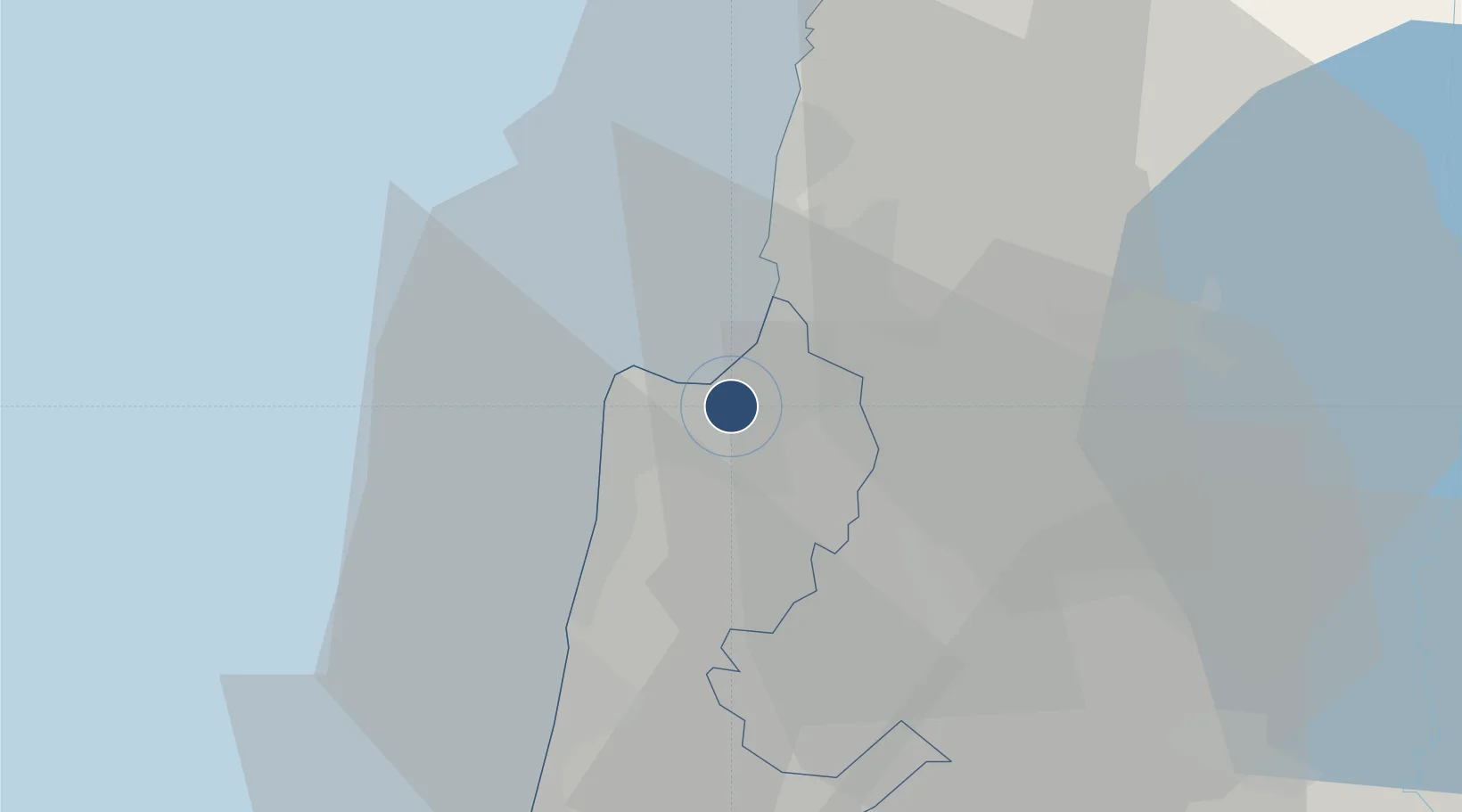
32.8102°, 35.0437°
4,324 ft
Longest runway
1
Runways
28 ft
Elevation

Runway & Layout

Uri Michaeli Haifa International Airport runway & taxiway layout
Runway & taxiway layout — OpenStreetMap (ODbL) / OurAirports

Radio Frequencies

ATIS
135.4 MHz
Tower Primary
133 MHz
Haifa Tower
Tower Secondary
127.8 MHz
Haifa Tower
OurAirports

Navaids

HFA NDB Haifa 323 kHz
OurAirports

Runways · 1

RunwayDimensions SurfaceTrue headingLit
15/33 4,324 × 98ft Asphalt 159°
OurAirports

Airport Specifications

IATA code
HFA
OurAirports
ICAO code
LLHA
OurAirports
Airport class
Medium airport
OurAirports
Scheduled service
Yes
OurAirports
Runway surface
Asphalt
OurAirports
Served city
Haifa
OurAirports

Location

Location of LLHA
Natural Earth 10m (public domain) · Haifa · LLHA · 32.81, 35.04GoogleOSMYandex

Nearby Logistics Neighbours

Airports
  1. 1Ramat David Air Base21 km
  2. 2Rosh Pina Airport53 km
  3. 3Ben Gurion International Airport90 km
  4. 4Tel Nof Air Base110 km
  5. 5Beirut Rafic Hariri International Airport120 km
Nearest neighbours — logibook spatial index (haversine) over the source coordinates
Cities
  1. 1Haifa1 km
  2. 2Qiryat Ata Milenium Terminal5 km
  3. 3Haifa Bayport6 km
  4. 4Haifa Granaries6 km
  5. 5Haifa Meshakef6 km
Nearest neighbours — logibook spatial index (haversine) over the source coordinates
Ports
  1. 1Haifa4 km
  2. 2Hadera41 km
  3. 3Sayda82 km
  4. 4Sidon/zahrani Terminal84 km
  5. 5Ashdod117 km
Nearest neighbours — logibook spatial index (haversine) over the source coordinates
Trade Zones
  1. 1Jenin Industrial Free Zone (JIFZ)45 km
  2. 2Ajloun Ajlun Development Zone85 km
  3. 3Irbid Development Area94 km
  4. 4Jarash Development Zone95 km
  5. 5Al-Hassan Industrial estate99 km
Nearest neighbours — logibook spatial index (haversine) over the source coordinates
DatabookThe Record of Consolidated Knowledge
Israel beyond logistics?
Browse databook

All Sources

AirportsOurAirports
Public domain
Portsthe NGA World Port Index
Public domain (US gov)
LocationsUN/LOCODE
UN/LOCODE — free
Trade Zonesthe World Bank SEZ database
CC BY 4.0
Trade ZonesOpen Zone Map
CC BY
InfrastructureOpenStreetMap
ODbL 1.0
← Israel airports