Diversified Zone · Jordan

Jarash Development Zone Under Development
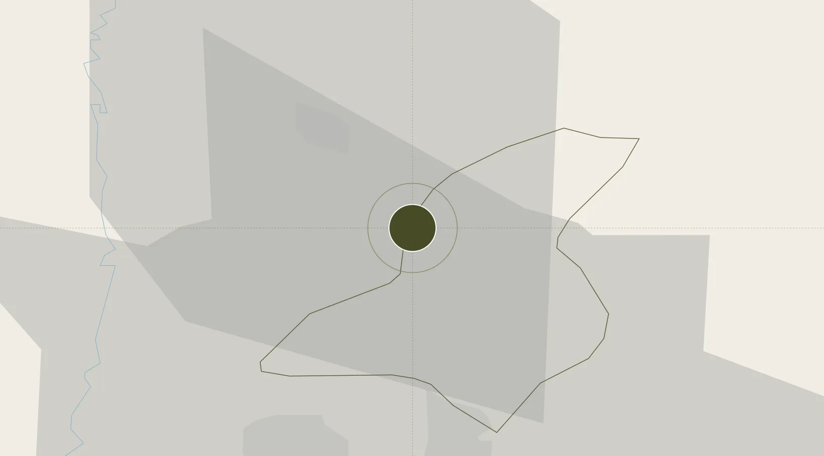
32.2700°, 35.8244°
80 ha
Zone area
89.5 km
Nearest port
36.6 km
Nearest airport

Gateway access

Nearest neighbours — logibook spatial index (haversine) over the source coordinates

Zone profile

Zone type
Diversified Zone
Open Zone Map
Region
Jarash
Open Zone Map
Status
Under Development
Open Zone Map
Management
Public
Open Zone Map
Operator
Jordan Investment Commission
Open Zone Map
Legal framework
The Investment Law No. (30) of 2014.
Open Zone Map

Location

Location of ozm-2617
Natural Earth 10m (public domain) · Jarash · ozm-2617 · 32.27, 35.82GoogleOSMYandex

Nearby Logistics Neighbours

Ports
  1. 1Hadera90 km
  2. 2Haifa98 km
  3. 3Ashdod122 km
  4. 4Ashqelon142 km
  5. 5Sayda144 km
Nearest neighbours — logibook spatial index (haversine) over the source coordinates
Airports
  1. 1Marka International (Amman Civil) Airport37 km
  2. 2Queen Alia International Airport63 km
  3. 3Ramat David Air Base75 km
  4. 4Rosh Pina Airport83 km
  5. 5Ben Gurion International Airport93 km
Nearest neighbours — logibook spatial index (haversine) over the source coordinates
Cities
  1. 1Zarka Free Zone33 km
  2. 2Arava Terminal Zin34 km
  3. 3Beit Shean Rail Terminal40 km
  4. 4Abu Alandah43 km
  5. 5Newe Ur43 km
Nearest neighbours — logibook spatial index (haversine) over the source coordinates
Trade Zones
  1. 1Ajloun Ajlun Development Zone10 km
  2. 2Irbid Development Area28 km
  3. 3Al-Salt Development Zone31 km
  4. 4Al-Hassan Industrial estate32 km
  5. 5King Hussein Business Park33 km
Nearest neighbours — logibook spatial index (haversine) over the source coordinates
DatabookThe Record of Consolidated Knowledge
Jordan beyond logistics?
Browse databook

All Sources

Trade ZonesOpen Zone Map
CC BY
Portsthe NGA World Port Index
Public domain (US gov)
AirportsOurAirports
Public domain
LocationsUN/LOCODE
UN/LOCODE — free
← Jordan trade zones