Transport Functions
Port
Road
Hub Profile
Region
JM
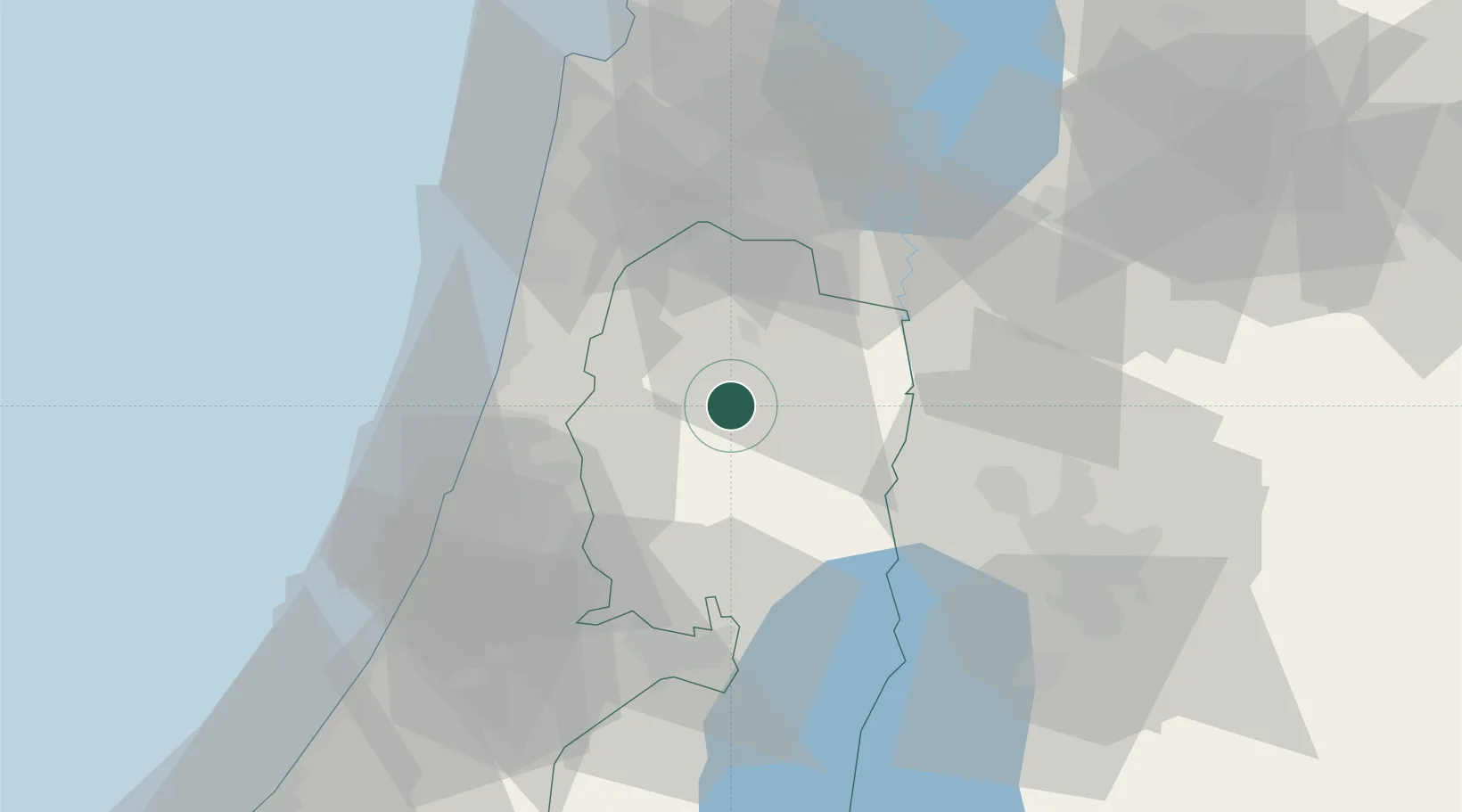
Location
Nearby Logistics Neighbours
Cities
- 1Barkan Industrial Park18 km
- 2Ofra30 km
- 3Qadima32 km
- 4Kafr Saba32 km
- 5Ma'anit33 km
Airports
Trade Zones
DatabookThe Record of Consolidated Knowledge
Israel beyond logistics?