UN/LOCODE hub · Israel
ILZIN

Arava Terminal Zin

32.4833°, 35.5667°
1
Transport functions

Transport Functions

Multimodal
UN/LOCODE

Hub Profile

Region
D
GeoNames

Location

Location of ILZIN
Natural Earth 10m (public domain) · D · ILZIN · 32.48, 35.57GoogleOSMYandex

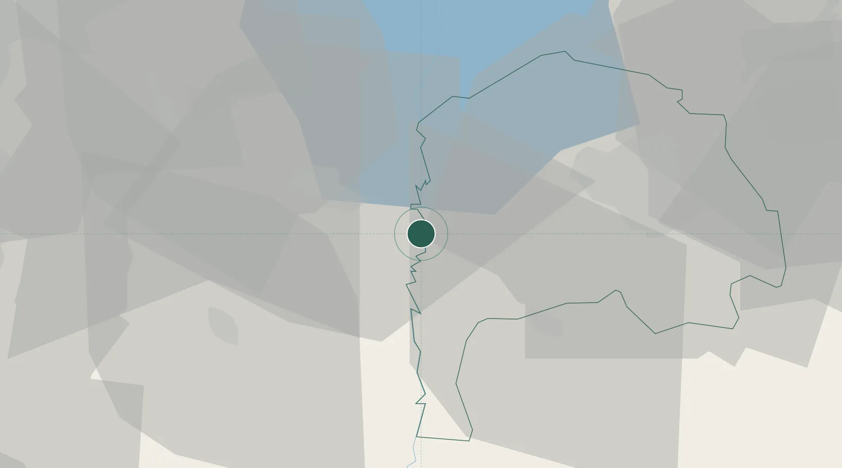
Nearby Logistics Neighbours

Cities
  1. 1Beit Shean Rail Terminal7 km
  2. 2Newe Ur11 km
  3. 3Beit Zera22 km
  4. 4Nazareth35 km
  5. 5Tiberias35 km
Nearest neighbours — logibook spatial index (haversine) over the source coordinates
Ports
  1. 1Hadera63 km
  2. 2Haifa65 km
  3. 3Ashdod114 km
  4. 4Sayda115 km
  5. 5Sidon/zahrani Terminal119 km
Nearest neighbours — logibook spatial index (haversine) over the source coordinates
Airports
  1. 1Ramat David Air Base42 km
  2. 2Rosh Pina Airport55 km
  3. 3Uri Michaeli Haifa International Airport61 km
  4. 4Marka International (Amman Civil) Airport69 km
  5. 5Ben Gurion International Airport83 km
Nearest neighbours — logibook spatial index (haversine) over the source coordinates
Trade Zones
  1. 1Ajloun Ajlun Development Zone24 km
  2. 2Jenin Industrial Free Zone (JIFZ)27 km
  3. 3Jarash Development Zone34 km
  4. 4Irbid Development Area38 km
  5. 5Al-Hassan Industrial estate44 km
Nearest neighbours — logibook spatial index (haversine) over the source coordinates
DatabookThe Record of Consolidated Knowledge
Israel beyond logistics?
Browse databook

All Sources

LocationsUN/LOCODE
UN/LOCODE — free
Portsthe NGA World Port Index
Public domain (US gov)
AirportsOurAirports
Public domain
Trade Zonesthe World Bank SEZ database
CC BY 4.0
Trade ZonesOpen Zone Map
CC BY
← Israel locations