Medium airport · Israel

Rosh Pina AirportLLIB
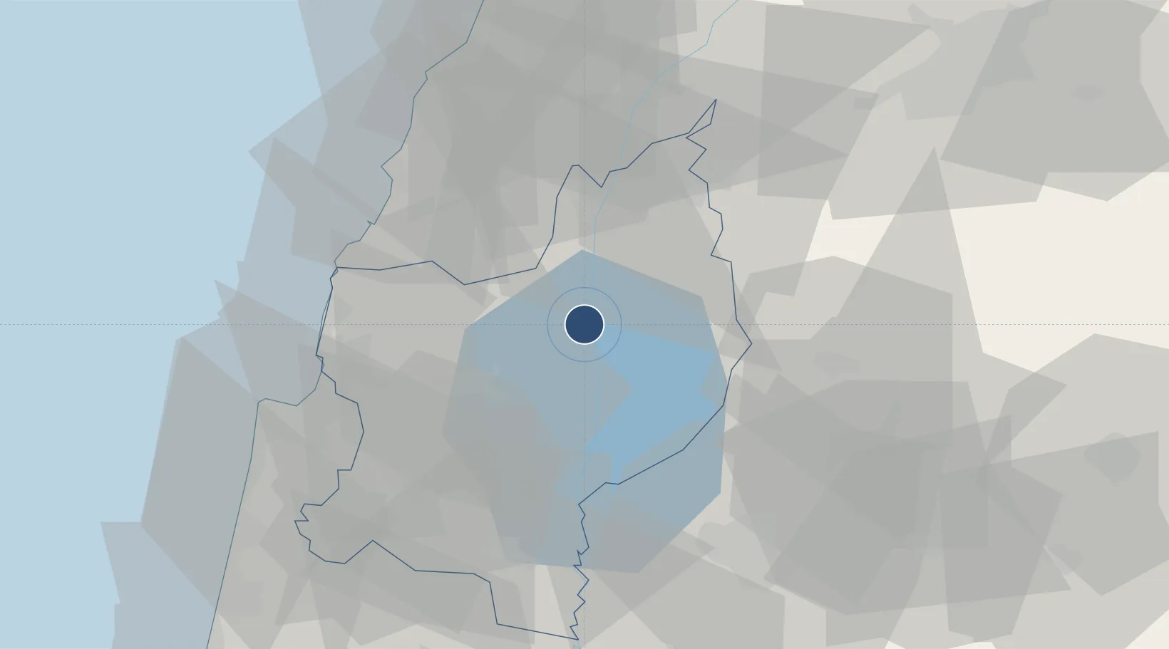
32.9810°, 35.5719°
3,625 ft
Longest runway
1
Runways
884 ft
Elevation

Runway & Layout

Rosh Pina Airport runway & taxiway layout
Runway & taxiway layout — OpenStreetMap (ODbL) / OurAirports

Radio Frequencies

ATIS
132.45 MHz
Tower Primary
118.45 MHz
Rosh Pina Tower
Tower Secondary
119.65 MHz
Rosh Pina Tower
OurAirports

Navaids

ROP VOR-DME Rosh Pina 115.30 MHz
RPN NDB Rosh Pina 243 kHz
OurAirports

Runways · 1

RunwayDimensions SurfaceTrue headingLit
15/33 3,625 × 100ft Asphalt 150°
OurAirports

Airport Specifications

IATA code
RPN
OurAirports
ICAO code
LLIB
OurAirports
Airport class
Medium airport
OurAirports
Scheduled service
No
OurAirports
Runway surface
Asphalt
OurAirports
Served city
Rosh Pina
OurAirports

Location

Location of LLIB
Natural Earth 10m (public domain) · HaZafon · LLIB · 32.98, 35.57GoogleOSMYandex

Nearby Logistics Neighbours

Airports
  1. 1Ramat David Air Base51 km
  2. 2Uri Michaeli Haifa International Airport53 km
  3. 3Khalkhalah Air Base93 km
  4. 4Beirut Rafic Hariri International Airport94 km
  5. 5Damascus International Airport100 km
Nearest neighbours — logibook spatial index (haversine) over the source coordinates
Cities
  1. 1Hazor4 km
  2. 2Tiberias20 km
  3. 3Gush Halav24 km
  4. 4Haddatha26 km
  5. 5Beit Zera33 km
Nearest neighbours — logibook spatial index (haversine) over the source coordinates
Ports
  1. 1Haifa56 km
  2. 2Sayda61 km
  3. 3Sidon/zahrani Terminal66 km
  4. 4Hadera85 km
  5. 5Bayrut102 km
Nearest neighbours — logibook spatial index (haversine) over the source coordinates
Trade Zones
  1. 1Jenin Industrial Free Zone (JIFZ)64 km
  2. 2Irbid Development Area66 km
  3. 3Al-Hassan Industrial estate68 km
  4. 4Ajloun Ajlun Development Zone73 km
  5. 5Daraa Free Zone81 km
Nearest neighbours — logibook spatial index (haversine) over the source coordinates
DatabookThe Record of Consolidated Knowledge
Israel beyond logistics?
Browse databook

All Sources

AirportsOurAirports
Public domain
Portsthe NGA World Port Index
Public domain (US gov)
LocationsUN/LOCODE
UN/LOCODE — free
Trade Zonesthe World Bank SEZ database
CC BY 4.0
Trade ZonesOpen Zone Map
CC BY
InfrastructureOpenStreetMap
ODbL 1.0
← Israel airports