Specialized Zone · Jordan

Ajloun Ajlun Development Zone Active
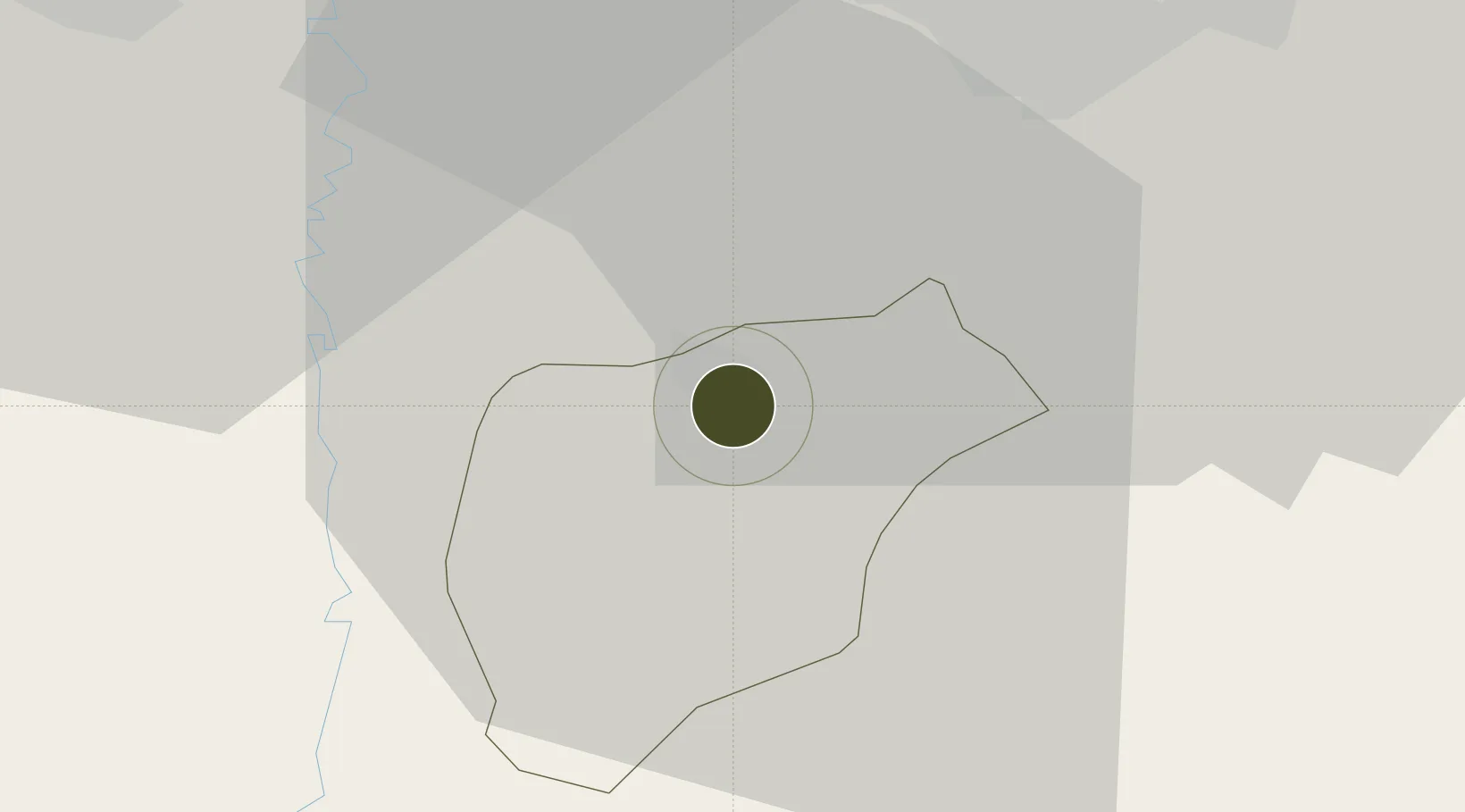
32.3410°, 35.7544°
220 ha
Zone area
81.4 km
Nearest port
46.6 km
Nearest airport

Gateway access

Nearest neighbours — logibook spatial index (haversine) over the source coordinates

Zone profile

Zone type
Specialized Zone
Open Zone Map
Specialization
Tourism
Open Zone Map
Region
Ajlun
Open Zone Map
Status
Active
Open Zone Map
Management
Public
Open Zone Map
Operator
Jordan Investment Commission
Open Zone Map
Legal framework
The Investment Law No. (30) of 2014.
Open Zone Map

Location

Location of ozm-2636
Natural Earth 10m (public domain) · Ajlun · ozm-2636 · 32.34, 35.75GoogleOSMYandex

Nearby Logistics Neighbours

Ports
  1. 1Hadera81 km
  2. 2Haifa88 km
  3. 3Ashdod119 km
  4. 4Sayda134 km
  5. 5Sidon/zahrani Terminal139 km
Nearest neighbours — logibook spatial index (haversine) over the source coordinates
Airports
  1. 1Marka International (Amman Civil) Airport47 km
  2. 2Ramat David Air Base65 km
  3. 3Queen Alia International Airport72 km
  4. 4Rosh Pina Airport73 km
  5. 5Uri Michaeli Haifa International Airport85 km
Nearest neighbours — logibook spatial index (haversine) over the source coordinates
Cities
  1. 1Arava Terminal Zin24 km
  2. 2Beit Shean Rail Terminal30 km
  3. 3Newe Ur33 km
  4. 4Beit Zera42 km
  5. 5Zarka Free Zone43 km
Nearest neighbours — logibook spatial index (haversine) over the source coordinates
Trade Zones
  1. 1Jarash Development Zone10 km
  2. 2Irbid Development Area27 km
  3. 3Al-Hassan Industrial estate31 km
  4. 4Al-Salt Development Zone36 km
  5. 5King Hussein Business Park42 km
Nearest neighbours — logibook spatial index (haversine) over the source coordinates
DatabookThe Record of Consolidated Knowledge
Jordan beyond logistics?
Browse databook

All Sources

Trade ZonesOpen Zone Map
CC BY
Portsthe NGA World Port Index
Public domain (US gov)
AirportsOurAirports
Public domain
LocationsUN/LOCODE
UN/LOCODE — free
← Jordan trade zones