Medium airport · Israel

Tel Nof Air BaseLLEK
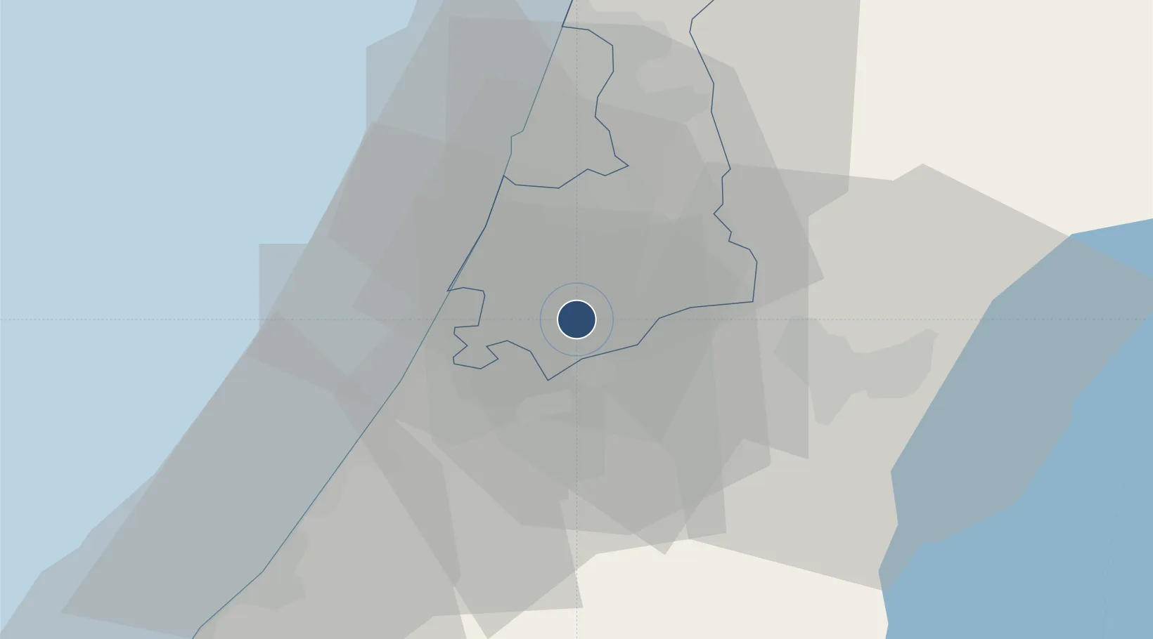
31.8395°, 34.8218°
7,880 ft
Longest runway
3
Runways
193 ft
Elevation

Runway & Layout

Tel Nof Air Base runway & taxiway layout
Runway & taxiway layout — OpenStreetMap (ODbL) / OurAirports

Radio Frequencies

APP
120.9 MHz
TEL AVIV APP
OurAirports

Runways · 3

RunwayDimensions SurfaceTrue headingLit
18/36 7,880 × 150ft Asphalt 184°
15R/33L 7,835 × 150ft Asphalt 151°
15L/33R 7,830 × 150ft Asphalt 151°
OurAirports

Airport Specifications

ICAO code
LLEK
OurAirports
Airport class
Medium airport
OurAirports
Scheduled service
No
OurAirports
Runway surface
Asphalt
OurAirports
Served city
Rehovot
OurAirports

Location

Location of LLEK
Natural Earth 10m (public domain) · HaMerkaz · LLEK · 31.84, 34.82GoogleOSMYandex

Nearby Logistics Neighbours

Airports
  1. 1Ben Gurion International Airport20 km
  2. 2Nevatim Air Base73 km
  3. 3Bar Yehuda Airfield78 km
  4. 4Ramat David Air Base98 km
  5. 5El Jora Airport106 km
Nearest neighbours — logibook spatial index (haversine) over the source coordinates
Cities
  1. 1Karmei Yosef9 km
  2. 2Yavne10 km
  3. 3Tzrifin12 km
  4. 4Lod Overseas14 km
  5. 5Post Office Lod14 km
Nearest neighbours — logibook spatial index (haversine) over the source coordinates
Ports
  1. 1Ashdod16 km
  2. 2Ashqelon36 km
  3. 3Hadera70 km
  4. 4Haifa110 km
  5. 5Al Arish121 km
Nearest neighbours — logibook spatial index (haversine) over the source coordinates
Trade Zones
  1. 1Bethlehem Industrial Estate -BIE39 km
  2. 2Gaza Industrial Estate (GIE)52 km
  3. 3Jericho Argo- Industrial Park (JAIP)59 km
  4. 4Al-Karama Free Zone71 km
  5. 5Jenin Industrial Free Zone (JIFZ)81 km
Nearest neighbours — logibook spatial index (haversine) over the source coordinates
DatabookThe Record of Consolidated Knowledge
Israel beyond logistics?
Browse databook

All Sources

AirportsOurAirports
Public domain
Portsthe NGA World Port Index
Public domain (US gov)
LocationsUN/LOCODE
UN/LOCODE — free
Trade Zonesthe World Bank SEZ database
CC BY 4.0
Trade ZonesOpen Zone Map
CC BY
InfrastructureOpenStreetMap
ODbL 1.0
← Israel airports