Transport Functions
Road
Multimodal
Hub Profile
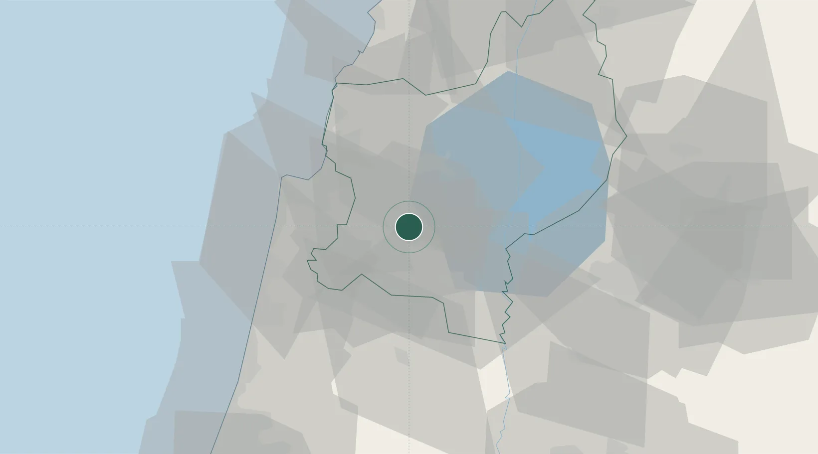
Place type
Regional capital
Region
Northern District
Population
77,445
Time zone
Asia/Jerusalem
Elevation
333 m
Location
Nearby Logistics Neighbours
Cities
- 1Shefar'am17 km
- 2Qiryat Ata Milenium Terminal22 km
- 3Tiberias25 km
- 4Beit Zera25 km
- 5Newe Ur27 km
Ports
- 1Haifa31 km
- 2Hadera46 km
- 3Sayda89 km
- 4Sidon/zahrani Terminal93 km
- 5Ashdod116 km
Airports
Trade Zones
DatabookThe Record of Consolidated Knowledge
Israel beyond logistics?