Diversified Zone · Jordan

Al-Salt Development Zone Under Development
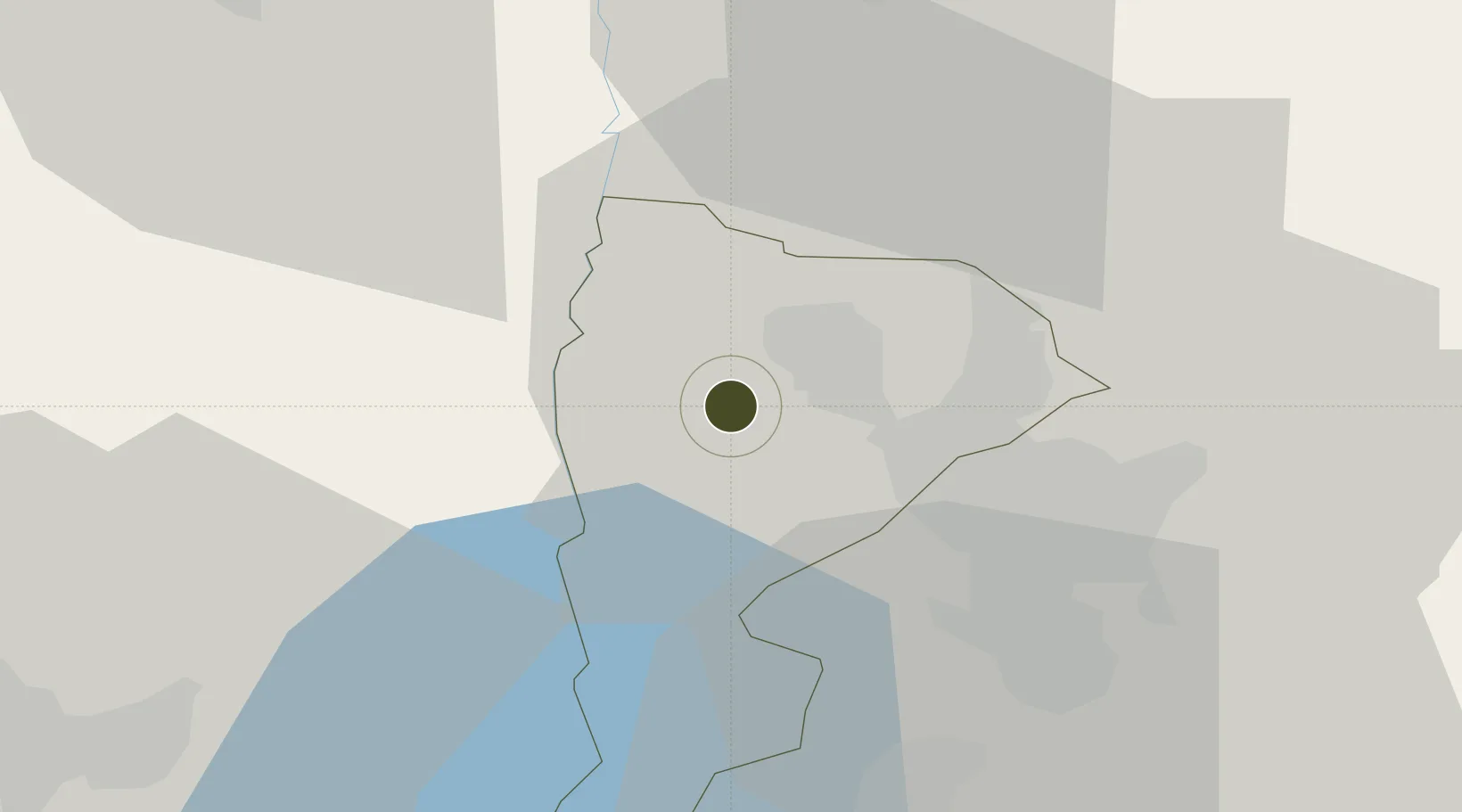
32.0322°, 35.6560°
86.0 km
Nearest port
32.3 km
Nearest airport

Gateway access

Nearest neighbours — logibook spatial index (haversine) over the source coordinates

Zone profile

Zone type
Diversified Zone
Open Zone Map
Region
Balqa
Open Zone Map
Status
Under Development
Open Zone Map
Management
Public
Open Zone Map
Operator
Jordan Investment Commission
Open Zone Map
Legal framework
The Investment Law No. (30) of 2014.
Open Zone Map

Location

Location of ozm-2631
Natural Earth 10m (public domain) · Balqa · ozm-2631 · 32.03, 35.66GoogleOSMYandex

Nearby Logistics Neighbours

Ports
  1. 1Hadera86 km
  2. 2Ashdod98 km
  3. 3Haifa107 km
  4. 4Ashqelon117 km
  5. 5Sayda166 km
Nearest neighbours — logibook spatial index (haversine) over the source coordinates
Airports
  1. 1Marka International (Amman Civil) Airport32 km
  2. 2Queen Alia International Airport47 km
  3. 3Ben Gurion International Airport73 km
  4. 4Tel Nof Air Base82 km
  5. 5Bar Yehuda Airfield82 km
Nearest neighbours — logibook spatial index (haversine) over the source coordinates
Cities
  1. 1Abu Alandah33 km
  2. 2Ofra39 km
  3. 3Zarka Free Zone42 km
  4. 4Mishor Adumim42 km
  5. 5Nabulus43 km
Nearest neighbours — logibook spatial index (haversine) over the source coordinates
Trade Zones
  1. 1Al-Karama Free Zone12 km
  2. 2King Hussein Business Park18 km
  3. 3Al Thuraya Development Zone20 km
  4. 4Jericho Argo- Industrial Park (JAIP)28 km
  5. 5Jarash Development Zone31 km
Nearest neighbours — logibook spatial index (haversine) over the source coordinates
DatabookThe Record of Consolidated Knowledge
Jordan beyond logistics?
Browse databook

All Sources

Trade ZonesOpen Zone Map
CC BY
Portsthe NGA World Port Index
Public domain (US gov)
AirportsOurAirports
Public domain
LocationsUN/LOCODE
UN/LOCODE — free
← Jordan trade zones