UN/LOCODE hub · Israel
ILBSR

Beit Shean Rail Terminal

32.5000°, 35.5000°
1
Transport functions

Transport Functions

Multimodal
UN/LOCODE

Hub Profile

Region
Z
GeoNames

Location

Location of ILBSR
Natural Earth 10m (public domain) · Z · ILBSR · 32.50, 35.50GoogleOSMYandex

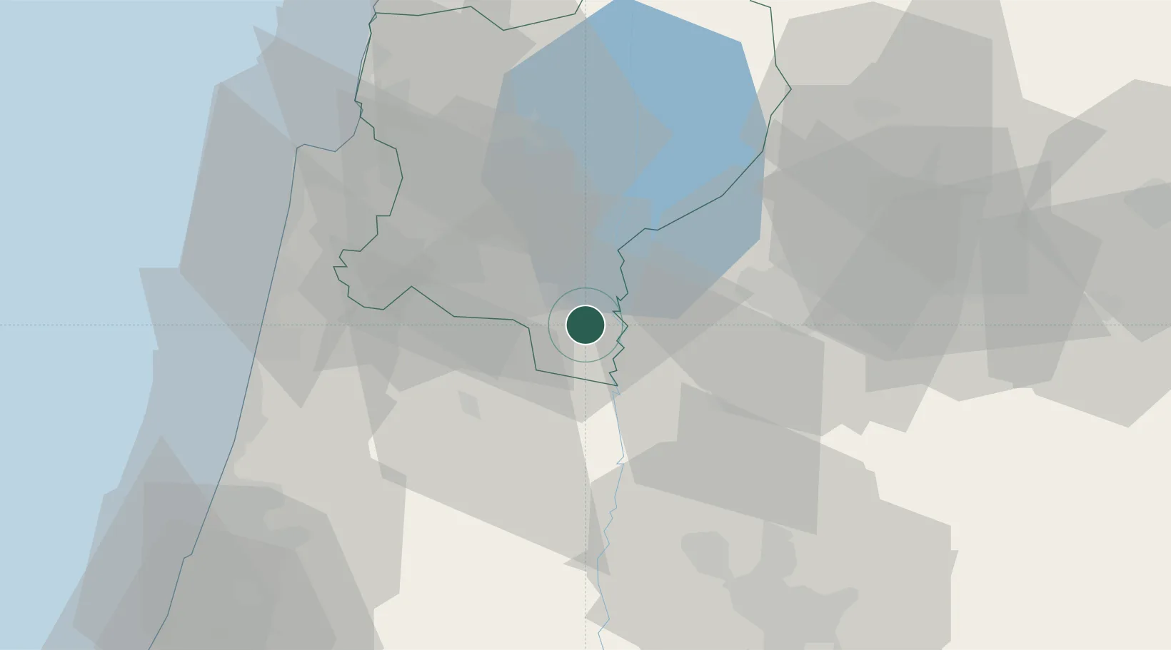
Nearby Logistics Neighbours

Cities
  1. 1Arava Terminal Zin7 km
  2. 2Newe Ur10 km
  3. 3Beit Zera21 km
  4. 4Nazareth29 km
  5. 5Tiberias34 km
Nearest neighbours — logibook spatial index (haversine) over the source coordinates
Ports
  1. 1Hadera56 km
  2. 2Haifa59 km
  3. 3Ashdod110 km
  4. 4Sayda112 km
  5. 5Sidon/zahrani Terminal116 km
Nearest neighbours — logibook spatial index (haversine) over the source coordinates
Airports
  1. 1Ramat David Air Base35 km
  2. 2Rosh Pina Airport54 km
  3. 3Uri Michaeli Haifa International Airport55 km
  4. 4Marka International (Amman Civil) Airport75 km
  5. 5Ben Gurion International Airport79 km
Nearest neighbours — logibook spatial index (haversine) over the source coordinates
Trade Zones
  1. 1Jenin Industrial Free Zone (JIFZ)21 km
  2. 2Ajloun Ajlun Development Zone30 km
  3. 3Jarash Development Zone40 km
  4. 4Irbid Development Area45 km
  5. 5Al-Hassan Industrial estate50 km
Nearest neighbours — logibook spatial index (haversine) over the source coordinates
DatabookThe Record of Consolidated Knowledge
Israel beyond logistics?
Browse databook

All Sources

LocationsUN/LOCODE
UN/LOCODE — free
Portsthe NGA World Port Index
Public domain (US gov)
AirportsOurAirports
Public domain
Trade Zonesthe World Bank SEZ database
CC BY 4.0
Trade ZonesOpen Zone Map
CC BY
← Israel locations