Diversified Zone · Jordan

Al-Karama Free Zone Active
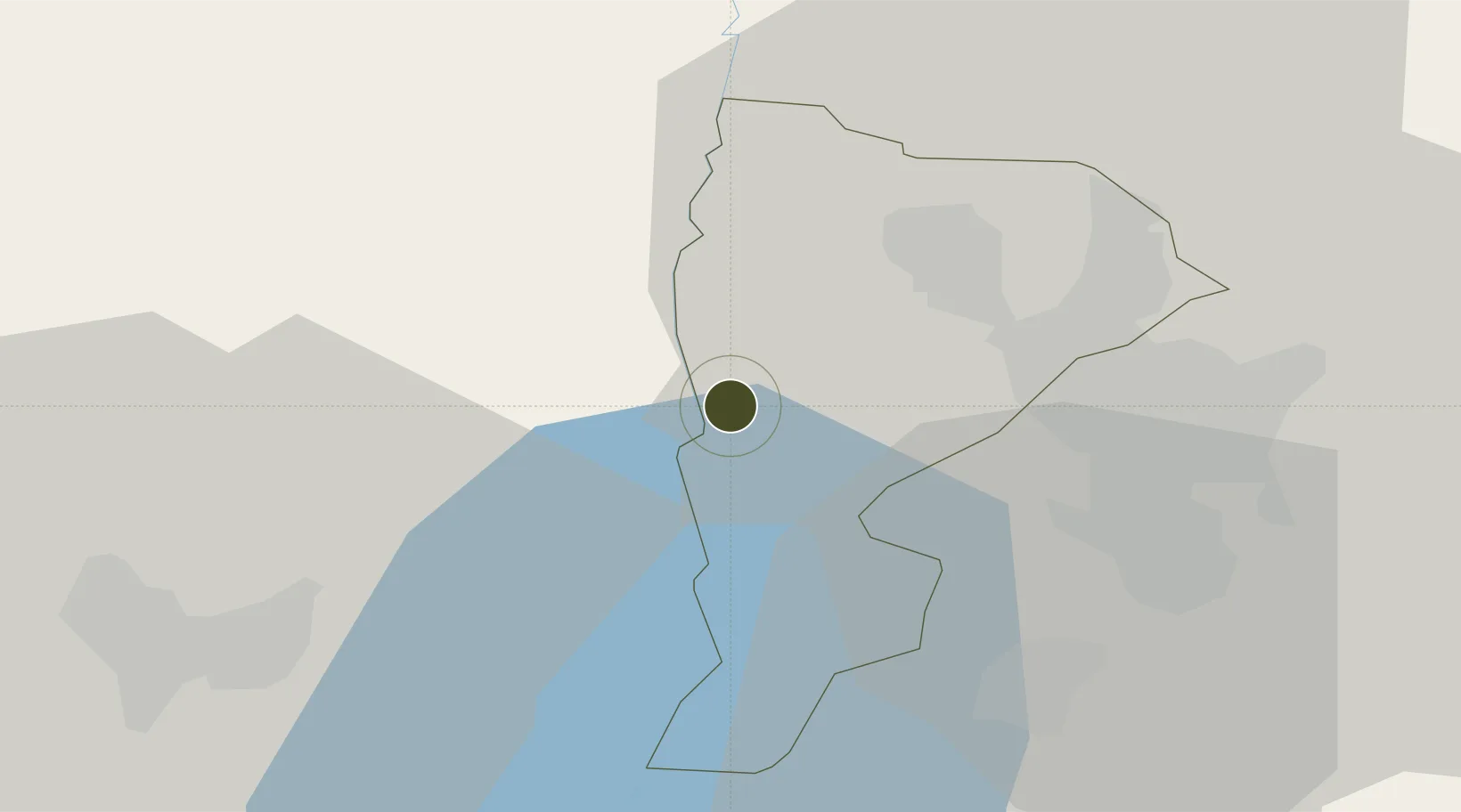
31.9580°, 35.5655°
1,000 ha
Zone area
84.4 km
Nearest port
40.2 km
Nearest airport

Gateway access

Nearest neighbours — logibook spatial index (haversine) over the source coordinates

Zone profile

Zone type
Diversified Zone
Open Zone Map
Region
Balqa
Open Zone Map
Status
Active
Open Zone Map
Management
Public-Private Partnership
Open Zone Map
Operator
Jordan Investment Commission
Open Zone Map
Legal framework
The Investment Law No. (30) of 2014.
Open Zone Map

Location

Location of ozm-2627
Natural Earth 10m (public domain) · Balqa · ozm-2627 · 31.96, 35.57GoogleOSMYandex

Nearby Logistics Neighbours

Ports
  1. 1Hadera84 km
  2. 2Ashdod88 km
  3. 3Ashqelon106 km
  4. 4Haifa109 km
  5. 5Sayda173 km
Nearest neighbours — logibook spatial index (haversine) over the source coordinates
Airports
  1. 1Marka International (Amman Civil) Airport40 km
  2. 2Queen Alia International Airport48 km
  3. 3Ben Gurion International Airport64 km
  4. 4Tel Nof Air Base71 km
  5. 5Bar Yehuda Airfield72 km
Nearest neighbours — logibook spatial index (haversine) over the source coordinates
Cities
  1. 1Ofra30 km
  2. 2Mishor Adumim31 km
  3. 3Yeruham36 km
  4. 4Abu Alandah38 km
  5. 5Nabulus41 km
Nearest neighbours — logibook spatial index (haversine) over the source coordinates
Trade Zones
  1. 1Al-Salt Development Zone12 km
  2. 2Jericho Argo- Industrial Park (JAIP)16 km
  3. 3King Hussein Business Park25 km
  4. 4Al Thuraya Development Zone27 km
  5. 5Dead Sea Development Zone33 km
Nearest neighbours — logibook spatial index (haversine) over the source coordinates
DatabookThe Record of Consolidated Knowledge
Jordan beyond logistics?
Browse databook

All Sources

Trade ZonesOpen Zone Map
CC BY
Portsthe NGA World Port Index
Public domain (US gov)
AirportsOurAirports
Public domain
LocationsUN/LOCODE
UN/LOCODE — free
← Jordan trade zones