Channel & Berth Profile
Pilotage, Tugs & Services
Pilotage compulsoryYES
Tug assistanceYES
Potable waterYES
Diesel bunkersYES
MedicalYES
Garbage disposalYES
Facilities & Capabilities
Container—
Ro-Ro—
Liquid bulk—
Dry bulk—
Oil terminal—
Break bulk—
Dry dock—
Repairs—
BunkeringYES
Rail linkYES
Dangerous cargo—
ISPS security—
Harbour Specifications
Harbour size
Very Small
Harbour type
Open Roadstead
Water body
Mediterranean Sea; North Atlantic Ocean
Overhead limit
Yes
Pilotage
Yes
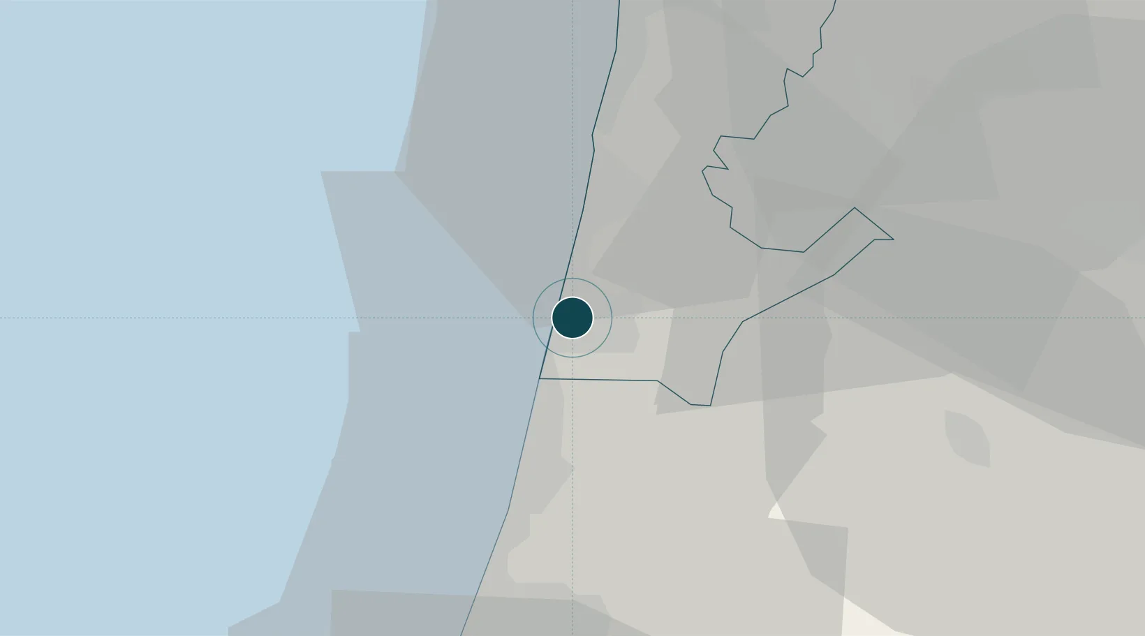
Location
Nearby Logistics Neighbours
Ports
- 1Haifa40 km
- 2Ashdod76 km
- 3Ashqelon97 km
- 4Sayda122 km
- 5Sidon/zahrani Terminal125 km
Cities
- 1Binyamina-Giv'at Ada6 km
- 2Emek Hefer Industrial Park8 km
- 3Givat Haim9 km
- 4Kfar Vitkin12 km
- 5Ma'anit13 km
Airports
Trade Zones
DatabookThe Record of Consolidated Knowledge
Israel beyond logistics?