Free Trade Zone · Lebanon

Tripoli Special Economic Zone Active
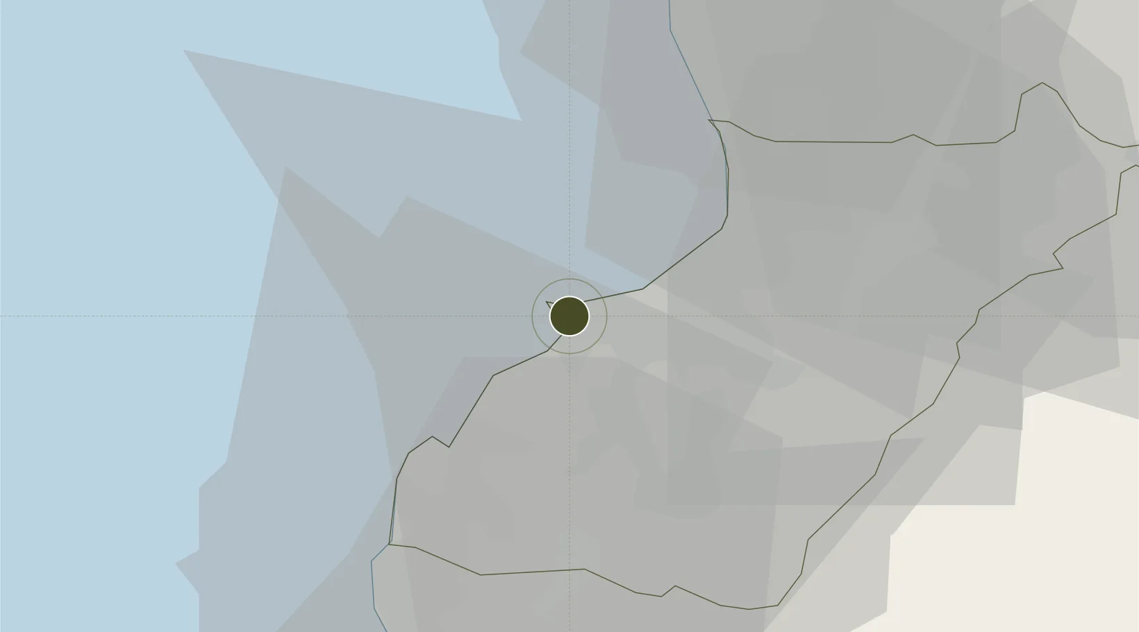
34.4503°, 35.8285°
32 ha
Zone area
0.4 km
Nearest port
22.8 km
Nearest airport

Gateway access

Nearest neighbours — logibook spatial index (haversine) over the source coordinates

Zone profile

Zone type
Free Trade Zone
Open Zone Map
Region
North Lebanon
Open Zone Map
Status
Active
Open Zone Map
Management
Public
Open Zone Map
Operator
Tripoli Special Economic Zones Authority
Open Zone Map
Legal framework
Law No. 18, dated September 5, 2008, Customs Law Issued by Decree No. 4461 (Articles 242-261)
Open Zone Map

Location

Location of ozm-2709
Natural Earth 10m (public domain) · North Lebanon · ozm-2709 · 34.45, 35.83GoogleOSMYandex

Nearby Logistics Neighbours

Ports
  1. 1Tarabulus0 km
  2. 2Selaata25 km
  3. 3Tartus50 km
  4. 4Bayrut68 km
  5. 5Baniyas83 km
Nearest neighbours — logibook spatial index (haversine) over the source coordinates
Airports
  1. 1Rene Mouawad Air Base23 km
  2. 2Wujah Al Hajar Air Base23 km
  3. 3Rayak Air Base68 km
  4. 4Al Qusayr Air Base70 km
  5. 5Beirut Rafic Hariri International Airport77 km
Nearest neighbours — logibook spatial index (haversine) over the source coordinates
Cities
  1. 1Amchit38 km
  2. 2Byblos41 km
  3. 3Arwad45 km
  4. 4Tartus51 km
  5. 5'Ablah52 km
Nearest neighbours — logibook spatial index (haversine) over the source coordinates
Trade Zones
  1. 1Tartous Tartus Free Zone51 km
  2. 2Port of Beirut Logistics Free Zone68 km
  3. 3Damascus Free Zone113 km
  4. 4Adra Free Zone117 km
  5. 5Latakia Lattakia Free Port120 km
Nearest neighbours — logibook spatial index (haversine) over the source coordinates
DatabookThe Record of Consolidated Knowledge
Lebanon beyond logistics?
Browse databook

All Sources

Trade ZonesOpen Zone Map
CC BY
Portsthe NGA World Port Index
Public domain (US gov)
AirportsOurAirports
Public domain
LocationsUN/LOCODE
UN/LOCODE — free
← Lebanon trade zones