Seaport · Lebanon
TarabulusLBKYE
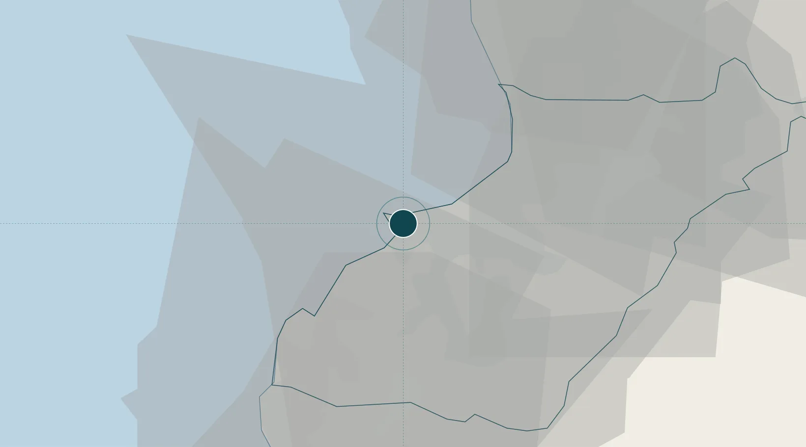
34.4500°, 35.8333°
11.0 m
Channel depth
1
Container terminals
91.4
Port liner connectivity
Channel & Berth Profile
Pilotage, Tugs & Services
Pilotage compulsoryYES
Pilotage availableYES
Pilotage advisableYES
Local assistanceYES
Tug assistanceYES
Salvage tugsNO
Potable waterYES
Diesel bunkersYES
MedicalYES
Garbage disposalNO
Facilities & Capabilities
ContainerYES
Ro-RoYES
Liquid bulkYES
Dry bulkYES
Oil terminalYES
Break bulkYES
Dry dock—
RepairsNO
BunkeringYES
Rail linkYES
Dangerous cargo—
ISPS securityYES
Harbour Specifications
Harbour size
Medium
Harbour type
Coastal (Breakwater)
Shelter
Good
Water body
Mediterranean Sea; North Atlantic Ocean
Tidal range
0.3 m
Pilotage
Yes
Liner Connectivity
91.4
PLSCI
Port Liner Shipping Connectivity Index for Tarabulus, as published by UNCTAD for the latest available quarter. Higher values indicate stronger scheduled liner-shipping integration.
Shown relative to the highest per-port PLSCI in the dataset (1,657.9).
Location
Container Terminals · 1
CMA TERMINALS TRIPOLI SAL
CMAT CMA TERMINALS
Nearby Logistics Neighbours
Ports
- 1Selaata25 km
- 2Tartus50 km
- 3Bayrut68 km
- 4Baniyas83 km
- 5Sidon/zahrani Terminal113 km
Airports
- 1Rene Mouawad Air Base23 km
- 2Wujah Al Hajar Air Base24 km
- 3Rayak Air Base68 km
- 4Al Qusayr Air Base69 km
- 5Beirut Rafic Hariri International Airport77 km
Trade Zones
- 1Tripoli Special Economic Zone0 km
- 2Tartous Tartus Free Zone51 km
- 3Port of Beirut Logistics Free Zone68 km
- 4Damascus Free Zone112 km
- 5Adra Free Zone117 km
DatabookThe Record of Consolidated Knowledge
Lebanon beyond logistics?