Seaport · Syria
TartusSYTTS
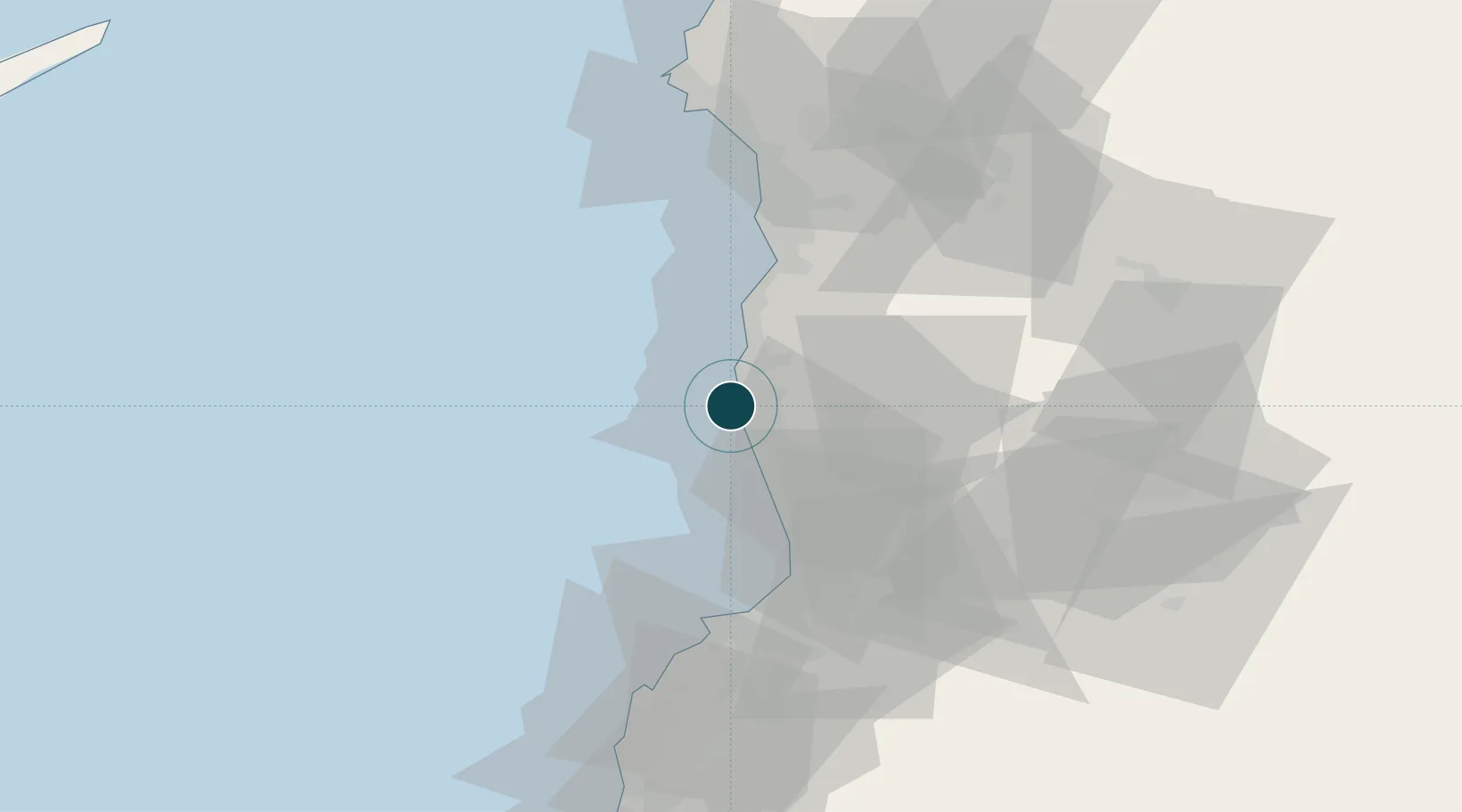
34.9000°, 35.8667°
14.0 m
Channel depth
1
Container terminals
40.3
Port liner connectivity
Channel & Berth Profile
Pilotage, Tugs & Services
Pilotage compulsoryYES
Pilotage availableYES
Pilotage advisableYES
Local assistanceYES
Tug assistanceYES
Potable waterYES
MedicalYES
Garbage disposalYES
Facilities & Capabilities
ContainerYES
Ro-RoYES
Liquid bulkYES
Dry bulkYES
Oil terminalYES
Break bulkYES
Dry dockNO
RepairsNO
BunkeringYES
Rail link—
Dangerous cargo—
ISPS securityYES
Harbour Specifications
Harbour size
Small
Harbour type
Coastal (Breakwater)
Shelter
Fair
Water body
Mediterranean Sea; North Atlantic Ocean
Tidal range
0.5 m
Pilotage
Yes
Liner Connectivity
40.3
PLSCI
Port Liner Shipping Connectivity Index for Tartus, as published by UNCTAD for the latest available quarter. Higher values indicate stronger scheduled liner-shipping integration.
Shown relative to the highest per-port PLSCI in the dataset (1,657.9).
Location
Container Terminals · 1
TARTOUS INTERNATIONAL CONTAINER TERMINAL
TICT TARTOUS INTERNATIONAL CONTAINER TERMINAL JSC - TICT
Nearby Logistics Neighbours
Ports
- 1Baniyas33 km
- 2Tarabulus50 km
- 3Al Ladhiqiyah71 km
- 4Selaata71 km
- 5Bayrut116 km
Cities
- 1Arwad6 km
- 2Tartus Oil Terminal8 km
- 3Baniyas32 km
- 4Al Ladhiqiyah69 km
- 5Latakia71 km
Airports
- 1Rene Mouawad Air Base37 km
- 2Latakia International Airport56 km
- 3Wujah Al Hajar Air Base71 km
- 4Al Qusayr Air Base74 km
- 5Rayak Air Base117 km
Trade Zones
DatabookThe Record of Consolidated Knowledge
Syria beyond logistics?