Free Trade Zone · Lebanon

Port of Beirut Logistics Free Zone Active
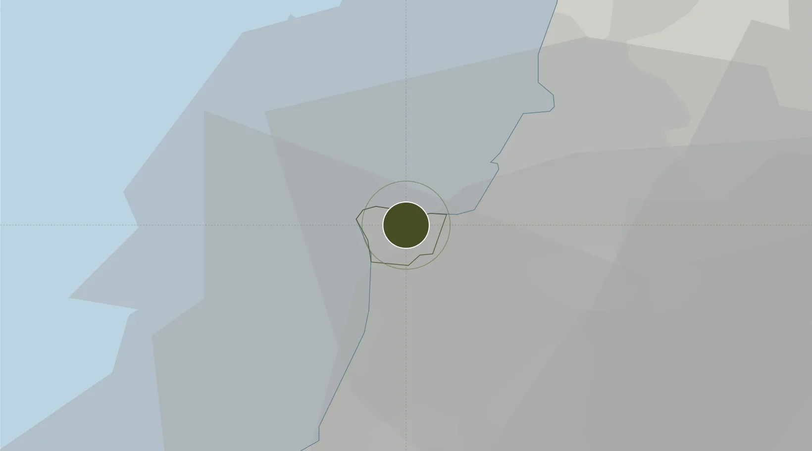
33.8968°, 35.5131°
1 ha
Zone area
1.3 km
Nearest port
8.9 km
Nearest airport

Gateway access

Nearest neighbours — logibook spatial index (haversine) over the source coordinates

Zone profile

Zone type
Free Trade Zone
Open Zone Map
Region
Beirut
Open Zone Map
Status
Active
Open Zone Map
Management
Public
Open Zone Map
Operator
The Beirut Port Authority
Open Zone Map
Legal framework
Law No. 18, dated September 5, 2008, Customs Law Issued by Decree No. 4461 (Articles 242-261)
Open Zone Map

Location

Location of ozm-2708
Natural Earth 10m (public domain) · Beirut · ozm-2708 · 33.90, 35.51GoogleOSMYandex

Nearby Logistics Neighbours

Ports
  1. 1Bayrut1 km
  2. 2Sidon/zahrani Terminal44 km
  3. 3Selaata45 km
  4. 4Sayda47 km
  5. 5Tarabulus68 km
Nearest neighbours — logibook spatial index (haversine) over the source coordinates
Airports
  1. 1Beirut Rafic Hariri International Airport9 km
  2. 2Rayak Air Base44 km
  3. 3Wujah Al Hajar Air Base45 km
  4. 4Rene Mouawad Air Base90 km
  5. 5Rosh Pina Airport102 km
Nearest neighbours — logibook spatial index (haversine) over the source coordinates
Cities
  1. 1Beirut1 km
  2. 2Dora5 km
  3. 3Antelias8 km
  4. 4Adonis10 km
  5. 5Zouk14 km
Nearest neighbours — logibook spatial index (haversine) over the source coordinates
Trade Zones
  1. 1Tripoli Special Economic Zone68 km
  2. 2Damascus Free Zone83 km
  3. 3Adra Free Zone104 km
  4. 4Damascus International Airport Free Zone107 km
  5. 5Tartous Tartus Free Zone118 km
Nearest neighbours — logibook spatial index (haversine) over the source coordinates
DatabookThe Record of Consolidated Knowledge
Lebanon beyond logistics?
Browse databook

All Sources

Trade ZonesOpen Zone Map
CC BY
Portsthe NGA World Port Index
Public domain (US gov)
AirportsOurAirports
Public domain
LocationsUN/LOCODE
UN/LOCODE — free
← Lebanon trade zones