Channel & Berth Profile
Pilotage, Tugs & Services
Pilotage compulsoryNO
Pilotage availableYES
Facilities & Capabilities
Container—
Ro-Ro—
Liquid bulk—
Dry bulk—
Oil terminal—
Break bulk—
Dry dock—
Repairs—
Bunkering—
Rail link—
Dangerous cargo—
ISPS security—
Harbour Specifications
Harbour size
Very Small
Harbour type
Coastal (Breakwater)
Water body
Mediterranean Sea; North Atlantic Ocean
Pilotage
No
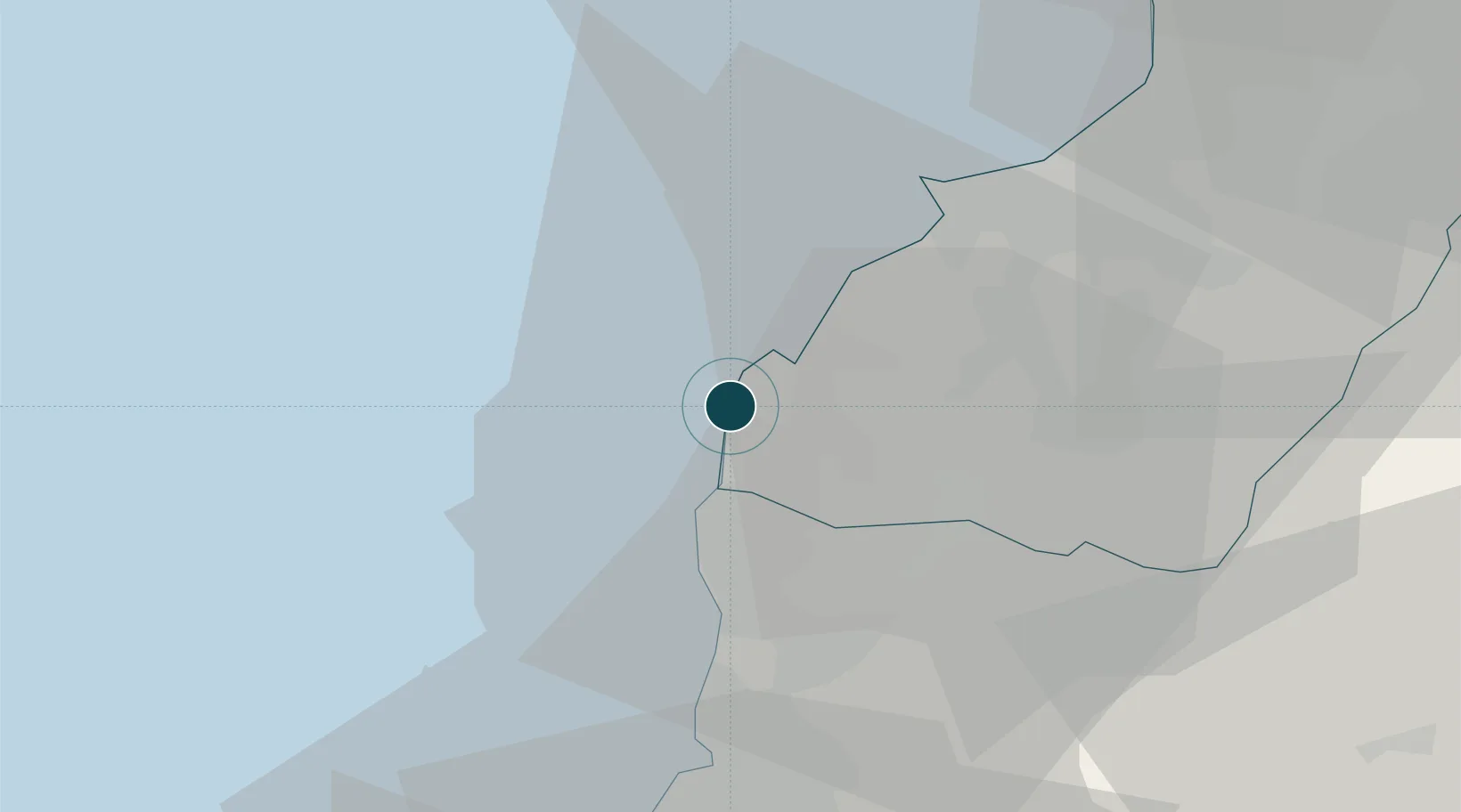
Location
Nearby Logistics Neighbours
Ports
- 1Tarabulus25 km
- 2Bayrut45 km
- 3Tartus71 km
- 4Sidon/zahrani Terminal89 km
- 5Sayda92 km
Airports
Trade Zones
- 1Tripoli Special Economic Zone25 km
- 2Port of Beirut Logistics Free Zone45 km
- 3Tartous Tartus Free Zone73 km
- 4Damascus Free Zone104 km
- 5Adra Free Zone114 km
DatabookThe Record of Consolidated Knowledge
Lebanon beyond logistics?