UN/LOCODE hub · Syria
SYTTS
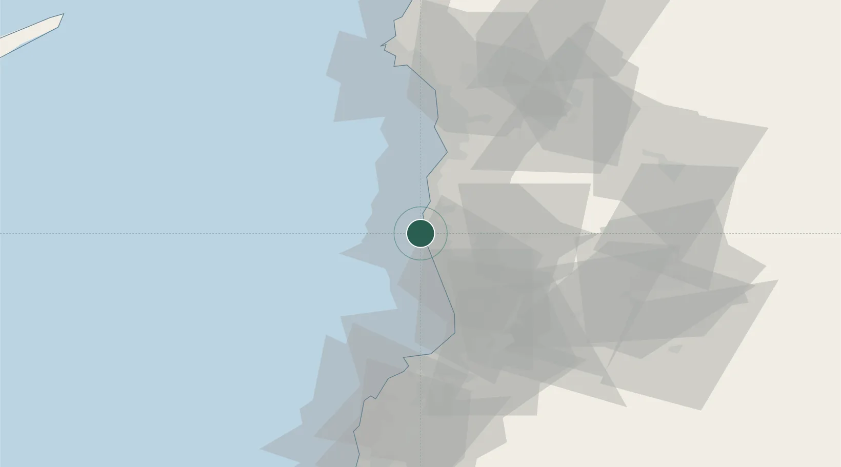
Tartus
34.9078°, 35.8664°
458,327
Population
2
Transport functions
1
Container terminals
Transport Functions
Port
Road
Hub Profile
Place type
Regional capital
Region
Tartus
Population
458,327
Time zone
Asia/Damascus
Elevation
20 m
Logistics facilities
1
Container terminals
1
Location
Nearby Logistics Neighbours
Cities
- 1Arwad7 km
- 2Tartus Oil Terminal7 km
- 3Baniyas32 km
- 4Al Ladhiqiyah68 km
- 5Latakia70 km
Ports
- 1Baniyas32 km
- 2Tarabulus51 km
- 3Al Ladhiqiyah70 km
- 4Selaata72 km
- 5Bayrut117 km
Airports
- 1Rene Mouawad Air Base38 km
- 2Latakia International Airport55 km
- 3Wujah Al Hajar Air Base72 km
- 4Al Qusayr Air Base75 km
- 5Rayak Air Base118 km
Trade Zones
DatabookThe Record of Consolidated Knowledge
Syria beyond logistics?