Large airport · Lebanon

Beirut Rafic Hariri International AirportOLBA
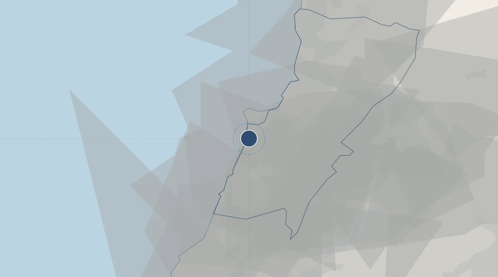
33.8198°, 35.4874°
12,467 ft
Longest runway
3
Runways
87 ft
Elevation

Runway & Layout

Beirut Rafic Hariri International Airport runway & taxiway layout
Runway & taxiway layout — OpenStreetMap (ODbL) / OurAirports

Radio Frequencies

ATIS
120.6 MHz
TWR
118.9 MHz
GND
121.9 MHz
APP
120.3 MHz
OurAirports

Navaids

BAB NDB Beirut 312 kHz
BOD NDB Beirut 351 kHz
KAD VOR-DME Khaldeh 112.60 MHz
OurAirports

Runways · 3

RunwayDimensions SurfaceTrue headingLit
03/21 12,467 × 148ft Concrete 033°
16/34 11,138 × 148ft Concrete 166°
17/35 10,663 × 197ft Asphalt 177°
OurAirports

Airport Specifications

IATA code
BEY
OurAirports
ICAO code
OLBA
OurAirports
Airport class
Large airport
OurAirports
Scheduled service
Yes
OurAirports
Runway surface
Concrete
OurAirports
Served city
Beirut
OurAirports

Location

Location of OLBA
Natural Earth 10m (public domain) · Mount Lebanon · OLBA · 33.82, 35.49GoogleOSMYandex

Nearby Logistics Neighbours

Airports
  1. 1Rayak Air Base46 km
  2. 2Wujah Al Hajar Air Base54 km
  3. 3Rosh Pina Airport94 km
  4. 4Rene Mouawad Air Base98 km
  5. 5Damascus International Airport106 km
Nearest neighbours — logibook spatial index (haversine) over the source coordinates
Cities
  1. 1Bchamoun7 km
  2. 2Beirut10 km
  3. 3Dora13 km
  4. 4Antelias15 km
  5. 5Adonis18 km
Nearest neighbours — logibook spatial index (haversine) over the source coordinates
Ports
  1. 1Bayrut9 km
  2. 2Sidon/zahrani Terminal36 km
  3. 3Sayda38 km
  4. 4Selaata54 km
  5. 5Tarabulus77 km
Nearest neighbours — logibook spatial index (haversine) over the source coordinates
Trade Zones
  1. 1Port of Beirut Logistics Free Zone9 km
  2. 2Tripoli Special Economic Zone77 km
  3. 3Damascus Free Zone81 km
  4. 4Adra Free Zone104 km
  5. 5Damascus International Airport Free Zone105 km
Nearest neighbours — logibook spatial index (haversine) over the source coordinates
DatabookThe Record of Consolidated Knowledge
Lebanon beyond logistics?
Browse databook

All Sources

AirportsOurAirports
Public domain
Portsthe NGA World Port Index
Public domain (US gov)
LocationsUN/LOCODE
UN/LOCODE — free
Trade Zonesthe World Bank SEZ database
CC BY 4.0
Trade ZonesOpen Zone Map
CC BY
InfrastructureOpenStreetMap
ODbL 1.0
← Lebanon airports