Transport Functions
Port
Hub Profile
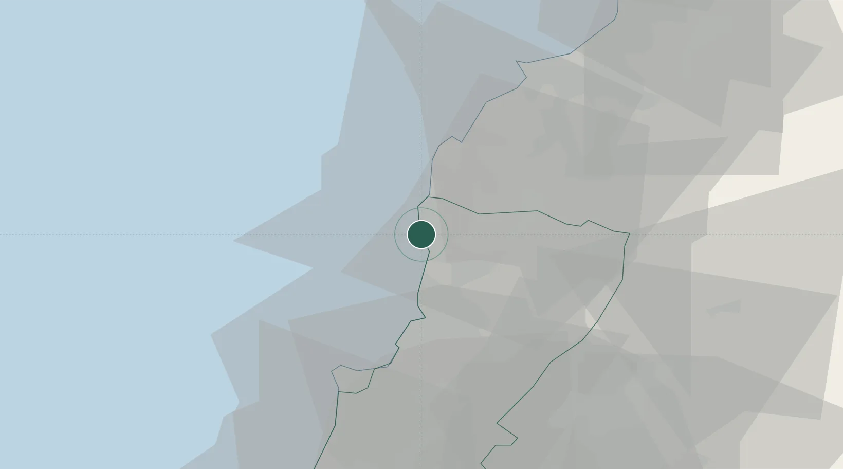
Place type
Populated place
Region
Mont-Liban
Time zone
Asia/Beirut
Elevation
134 m
Location
Nearby Logistics Neighbours
Ports
- 1Selaata15 km
- 2Bayrut30 km
- 3Tarabulus38 km
- 4Sidon/zahrani Terminal75 km
- 5Sayda77 km
Airports
- 1Wujah Al Hajar Air Base15 km
- 2Beirut Rafic Hariri International Airport39 km
- 3Rayak Air Base47 km
- 4Rene Mouawad Air Base60 km
- 5Al Qusayr Air Base98 km
Trade Zones
- 1Port of Beirut Logistics Free Zone30 km
- 2Tripoli Special Economic Zone38 km
- 3Tartous Tartus Free Zone87 km
- 4Damascus Free Zone93 km
- 5Adra Free Zone107 km
DatabookThe Record of Consolidated Knowledge
Lebanon beyond logistics?