UN/LOCODE hub · Syria
SYARW

Arwad

34.8500°, 35.8500°
2
Transport functions

Transport Functions

Port
Road
UN/LOCODE

Hub Profile

Place type
District seat
GeoNames
Region
Tartus
GeoNames
Time zone
Asia/Damascus
GeoNames
Elevation
14 m
GeoNames

Location

Location of SYARW
Natural Earth 10m (public domain) · Tartus · SYARW · 34.85, 35.85GoogleOSMYandex

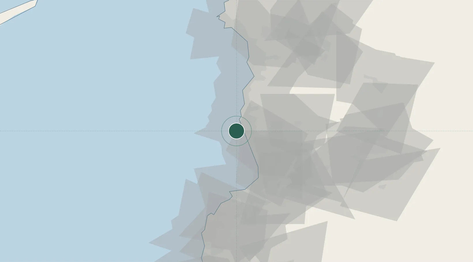
Nearby Logistics Neighbours

Cities
  1. 1Tartus7 km
  2. 2Tartus Oil Terminal13 km
  3. 3Baniyas38 km
  4. 4Al Ladhiqiyah74 km
  5. 5Latakia76 km
Nearest neighbours — logibook spatial index (haversine) over the source coordinates
Ports
  1. 1Tartus6 km
  2. 2Baniyas39 km
  3. 3Tarabulus45 km
  4. 4Selaata66 km
  5. 5Al Ladhiqiyah76 km
Nearest neighbours — logibook spatial index (haversine) over the source coordinates
Airports
  1. 1Rene Mouawad Air Base33 km
  2. 2Latakia International Airport62 km
  3. 3Wujah Al Hajar Air Base65 km
  4. 4Al Qusayr Air Base73 km
  5. 5Rayak Air Base112 km
Nearest neighbours — logibook spatial index (haversine) over the source coordinates
Trade Zones
  1. 1Tartous Tartus Free Zone7 km
  2. 2Tripoli Special Economic Zone45 km
  3. 3Latakia Lattakia Free Port76 km
  4. 4LatakiaLattakia Free Zone77 km
  5. 5Port of Beirut Logistics Free Zone110 km
Nearest neighbours — logibook spatial index (haversine) over the source coordinates
DatabookThe Record of Consolidated Knowledge
Syria beyond logistics?
Browse databook

All Sources

LocationsUN/LOCODE
UN/LOCODE — free
Portsthe NGA World Port Index
Public domain (US gov)
AirportsOurAirports
Public domain
Trade Zonesthe World Bank SEZ database
CC BY 4.0
Trade ZonesOpen Zone Map
CC BY
← Syria locations