Medium airport · Lebanon
Rayak Air BaseOLRA
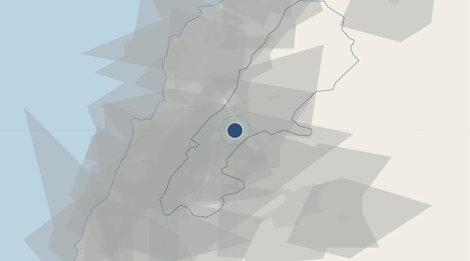
33.8508°, 35.9877°
9,740 ft
Longest runway
1
Runways
3,018 ft
Elevation
Runway & Layout

Radio Frequencies
TWR
119.7 MHz
Runways · 1
| Runway | Dimensions | Surface | True heading | Lit |
|---|---|---|---|---|
| 04/22 | 9,740 × 148ft | Concrete | 046° | ✓ |
Airport Specifications
ICAO code
OLRA
Airport class
Medium airport
Scheduled service
No
Runway surface
Concrete
Served city
Rayak
Location
Nearby Logistics Neighbours
Airports
Ports
- 1Bayrut45 km
- 2Selaata57 km
- 3Tarabulus68 km
- 4Sayda71 km
- 5Sidon/zahrani Terminal71 km
Trade Zones
DatabookThe Record of Consolidated Knowledge
Lebanon beyond logistics?