Transport Functions
Port
Road
Hub Profile
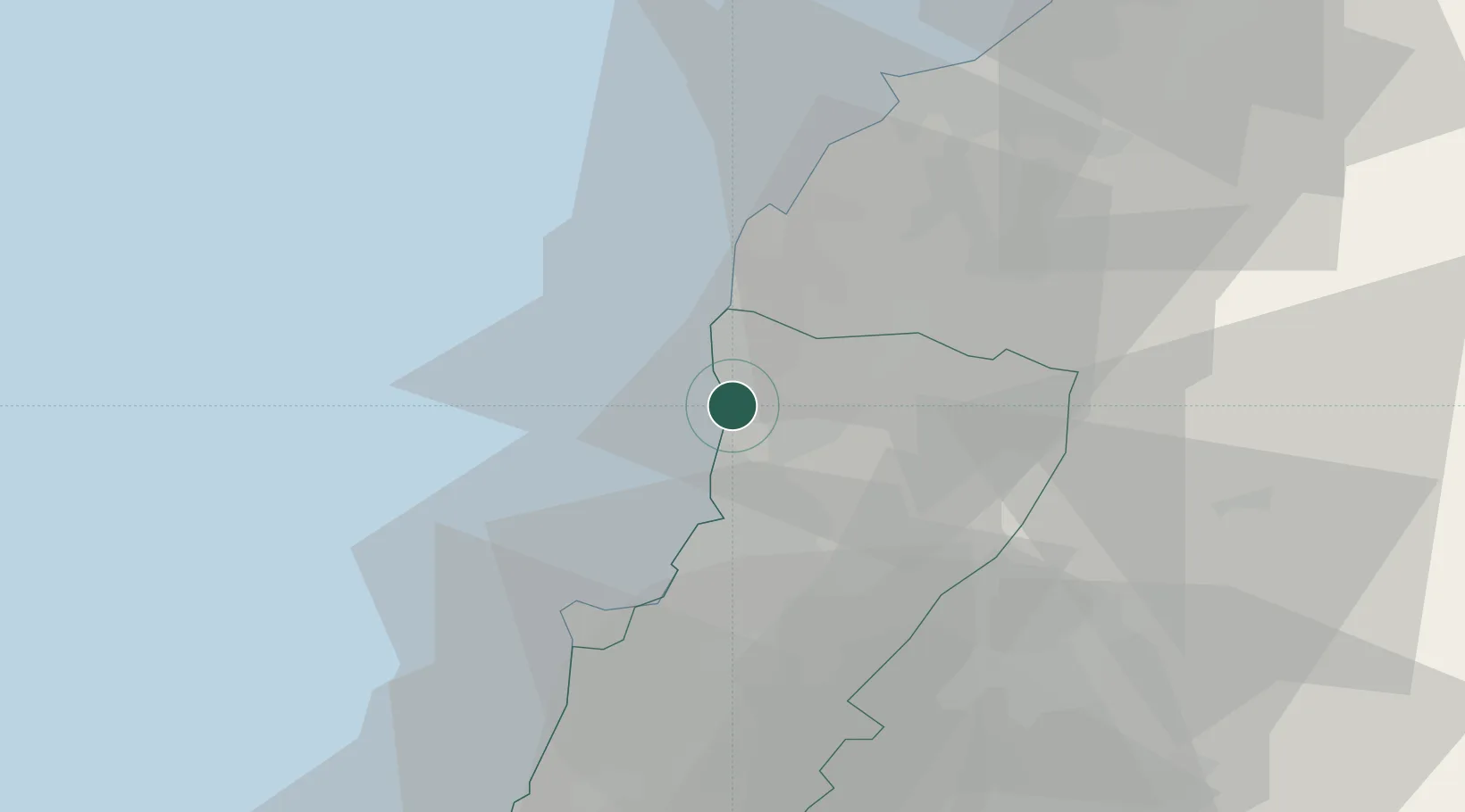
Place type
Provincial seat
Region
Mont-Liban
Population
20,784
Time zone
Asia/Beirut
Elevation
33 m
Location
Nearby Logistics Neighbours
Ports
- 1Selaata19 km
- 2Bayrut28 km
- 3Tarabulus41 km
- 4Sidon/zahrani Terminal72 km
- 5Sayda74 km
Airports
- 1Wujah Al Hajar Air Base19 km
- 2Beirut Rafic Hariri International Airport36 km
- 3Rayak Air Base43 km
- 4Rene Mouawad Air Base62 km
- 5Al Qusayr Air Base99 km
Trade Zones
- 1Port of Beirut Logistics Free Zone28 km
- 2Tripoli Special Economic Zone41 km
- 3Damascus Free Zone89 km
- 4Tartous Tartus Free Zone91 km
- 5Adra Free Zone103 km
DatabookThe Record of Consolidated Knowledge
Lebanon beyond logistics?