Medium airport · Lebanon

Wujah Al Hajar Air BaseZ19O
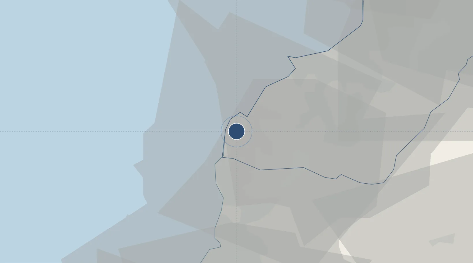
34.2812°, 35.6801°
6,000 ft
Longest runway
1
Runways
840 ft
Elevation

Runway & Layout

Wujah Al Hajar Air Base runway & taxiway layout
Runway & taxiway layout — OpenStreetMap (ODbL) / OurAirports

Runways · 1

RunwayDimensions SurfaceTrue headingLit
05/23 6,000 × —ft Concrete
OurAirports

Airport Specifications

Airport class
Medium airport
OurAirports
Scheduled service
No
OurAirports
Runway surface
Concrete
OurAirports
Served city
Hamat
OurAirports

Location

Location of Z19O
Natural Earth 10m (public domain) · North Lebanon · Z19O · 34.28, 35.68GoogleOSMYandex

Nearby Logistics Neighbours

Airports
  1. 1Rene Mouawad Air Base46 km
  2. 2Beirut Rafic Hariri International Airport54 km
  3. 3Rayak Air Base56 km
  4. 4Al Qusayr Air Base88 km
  5. 5An Nasiriyah Air Base116 km
Nearest neighbours — logibook spatial index (haversine) over the source coordinates
Cities
  1. 1Amchit15 km
  2. 2Byblos19 km
  3. 3Ashqout33 km
  4. 4Zouk35 km
  5. 5Adonis38 km
Nearest neighbours — logibook spatial index (haversine) over the source coordinates
Ports
  1. 1Selaata2 km
  2. 2Tarabulus24 km
  3. 3Bayrut46 km
  4. 4Tartus71 km
  5. 5Sidon/zahrani Terminal90 km
Nearest neighbours — logibook spatial index (haversine) over the source coordinates
Trade Zones
  1. 1Tripoli Special Economic Zone23 km
  2. 2Port of Beirut Logistics Free Zone45 km
  3. 3Tartous Tartus Free Zone72 km
  4. 4Damascus Free Zone102 km
  5. 5Adra Free Zone112 km
Nearest neighbours — logibook spatial index (haversine) over the source coordinates
DatabookThe Record of Consolidated Knowledge
Lebanon beyond logistics?
Browse databook

All Sources

AirportsOurAirports
Public domain
Portsthe NGA World Port Index
Public domain (US gov)
LocationsUN/LOCODE
UN/LOCODE — free
Trade Zonesthe World Bank SEZ database
CC BY 4.0
Trade ZonesOpen Zone Map
CC BY
InfrastructureOpenStreetMap
ODbL 1.0
← Lebanon airports