Transport Functions
Multimodal
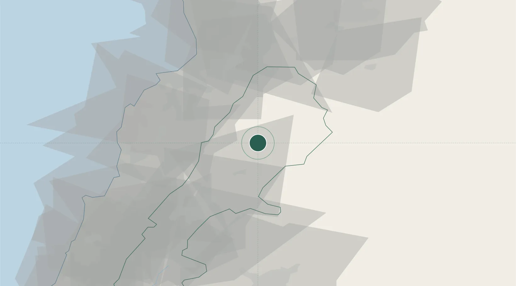
Hub Profile
Place type
Populated place
Region
Béqaa
Time zone
Asia/Beirut
Elevation
948 m
Location
Nearby Logistics Neighbours
Airports
- 1Rayak Air Base42 km
- 2Rene Mouawad Air Base54 km
- 3Al Qusayr Air Base54 km
- 4Wujah Al Hajar Air Base56 km
- 5An Nasiriyah Air Base61 km
Trade Zones
DatabookThe Record of Consolidated Knowledge
Lebanon beyond logistics?