Seaport · Lebanon
BayrutLBBEY
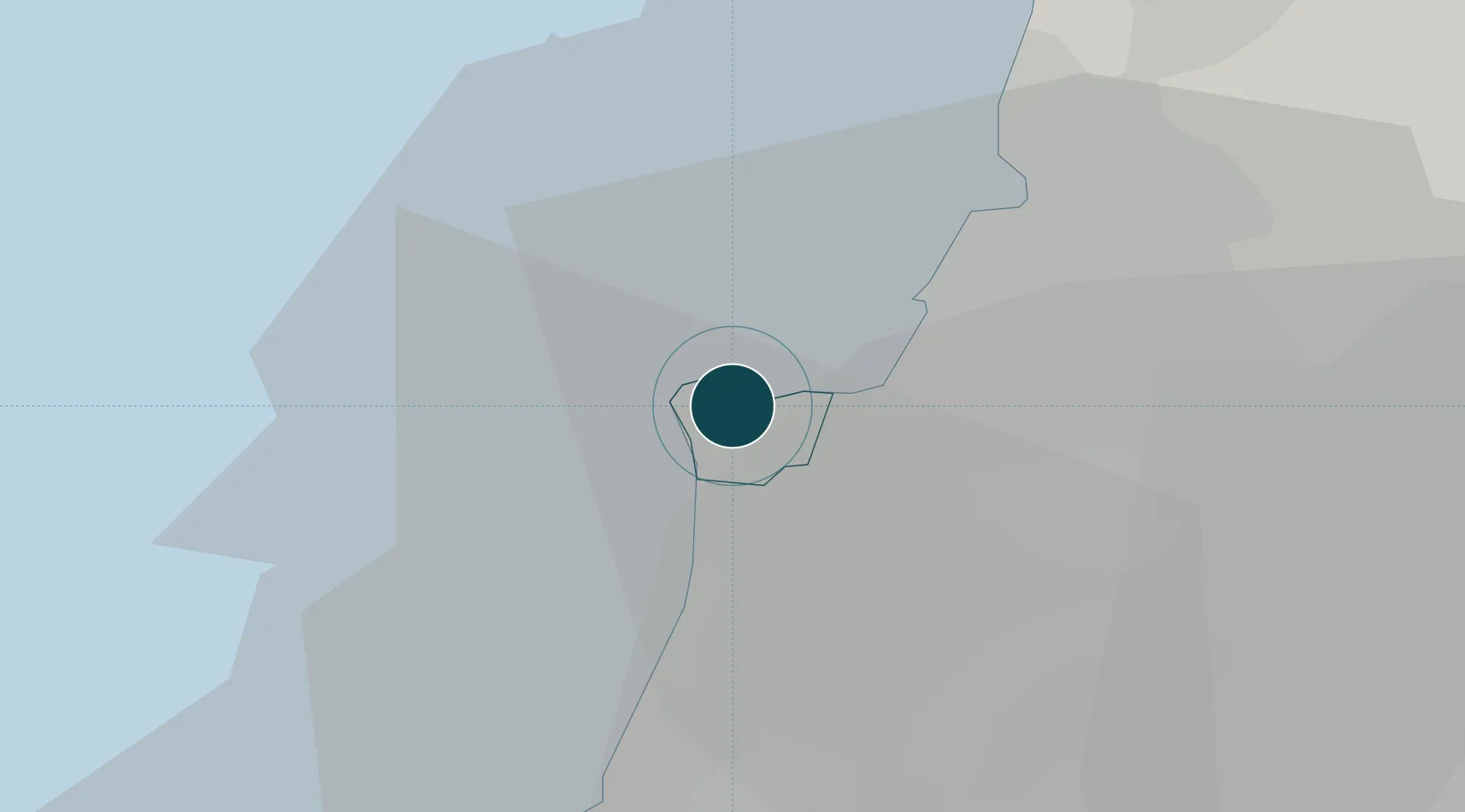
33.9000°, 35.5000°
15.5 m
Channel depth
1
Container terminals
215.0
Port liner connectivity
Channel & Berth Profile
Pilotage, Tugs & Services
Pilotage compulsoryYES
Pilotage availableYES
Tug assistanceYES
Salvage tugsYES
Shore powerNO
Potable waterYES
Diesel bunkersYES
MedicalYES
Garbage disposalYES
Facilities & Capabilities
ContainerYES
Ro-RoYES
Liquid bulkYES
Dry bulkYES
Oil terminalYES
Break bulkYES
Dry dockNO
RepairsNO
BunkeringNO
Rail linkYES
Dangerous cargoALLOW
ISPS securityYES
Harbour Specifications
Harbour size
Large
Harbour type
Coastal (Breakwater)
Shelter
Excellent
Water body
Mediterranean Sea; North Atlantic Ocean
Tidal range
0.3 m
Pilotage
Yes
Liner Connectivity
215
PLSCI
Port Liner Shipping Connectivity Index for Bayrut, as published by UNCTAD for the latest available quarter. Higher values indicate stronger scheduled liner-shipping integration.
Shown relative to the highest per-port PLSCI in the dataset (1,657.9).
Location
Container Terminals · 1
CMA TERMINALS BEIRUT
BCTC CMA TERMINALS
Nearby Logistics Neighbours
Ports
- 1Sidon/zahrani Terminal44 km
- 2Selaata45 km
- 3Sayda47 km
- 4Tarabulus68 km
- 5Tartus116 km
Airports
- 1Beirut Rafic Hariri International Airport9 km
- 2Rayak Air Base45 km
- 3Wujah Al Hajar Air Base46 km
- 4Rene Mouawad Air Base90 km
- 5Rosh Pina Airport102 km
Trade Zones
DatabookThe Record of Consolidated Knowledge
Lebanon beyond logistics?