Export Processing Zone · Syria

Latakia Lattakia Free Port Active
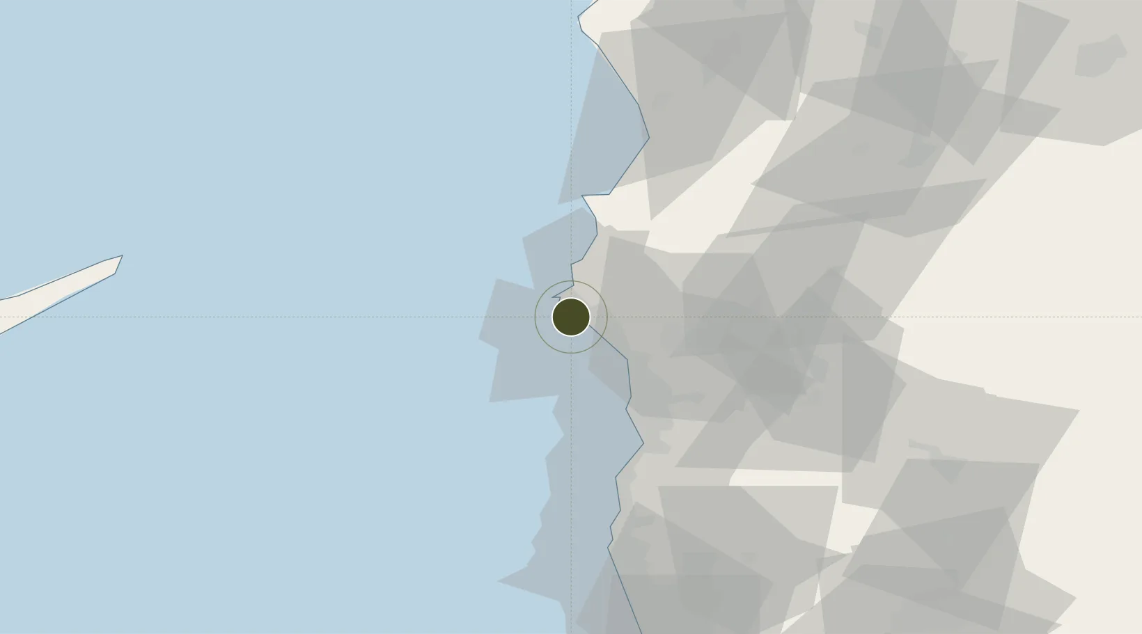
35.5299°, 35.7713°
178 ha
Zone area
0.6 km
Nearest port
21.5 km
Nearest airport

Gateway access

Nearest neighbours — logibook spatial index (haversine) over the source coordinates

Zone profile

Zone type
Export Processing Zone
Open Zone Map
Region
Lattakia
Open Zone Map
Status
Active
Open Zone Map
Management
Public
Open Zone Map
Operator
The General Establishment of Free Zones
Open Zone Map
Legal framework
Investment Law No. 10 (1991) and Its Amending Decrees No. 7 (2000) and Nos. 8 and 9 on January 27, 2007.
Open Zone Map

Location

Location of ozm-4373
Natural Earth 10m (public domain) · Lattakia · ozm-4373 · 35.53, 35.77GoogleOSMYandex

Nearby Logistics Neighbours

Ports
  1. 1Al Ladhiqiyah1 km
  2. 2Baniyas41 km
  3. 3Tartus71 km
  4. 4Tarabulus120 km
  5. 5Iskenderun124 km
Nearest neighbours — logibook spatial index (haversine) over the source coordinates
Airports
  1. 1Latakia International Airport22 km
  2. 2Hatay Airport103 km
  3. 3Rene Mouawad Air Base107 km
  4. 4Abu ad Duhur Air Base123 km
  5. 5Al Qusayr Air Base129 km
Nearest neighbours — logibook spatial index (haversine) over the source coordinates
Cities
  1. 1Latakia0 km
  2. 2Al Ladhiqiyah2 km
  3. 3Brummana42 km
  4. 4Baniyas42 km
  5. 5Tartus Oil Terminal64 km
Nearest neighbours — logibook spatial index (haversine) over the source coordinates
Trade Zones
  1. 1LatakiaLattakia Free Zone7 km
  2. 2Tartous Tartus Free Zone70 km
  3. 3Tripoli Special Economic Zone120 km
  4. 4Iskenderun Organized Industrial Zone135 km
  5. 5Aleppo Free Zone154 km
Nearest neighbours — logibook spatial index (haversine) over the source coordinates
DatabookThe Record of Consolidated Knowledge
Syria beyond logistics?
Browse databook

All Sources

Trade ZonesOpen Zone Map
CC BY
Portsthe NGA World Port Index
Public domain (US gov)
AirportsOurAirports
Public domain
LocationsUN/LOCODE
UN/LOCODE — free
← Syria trade zones