Free Trade Zone · Syria
Tartous Tartus Free Zone Active
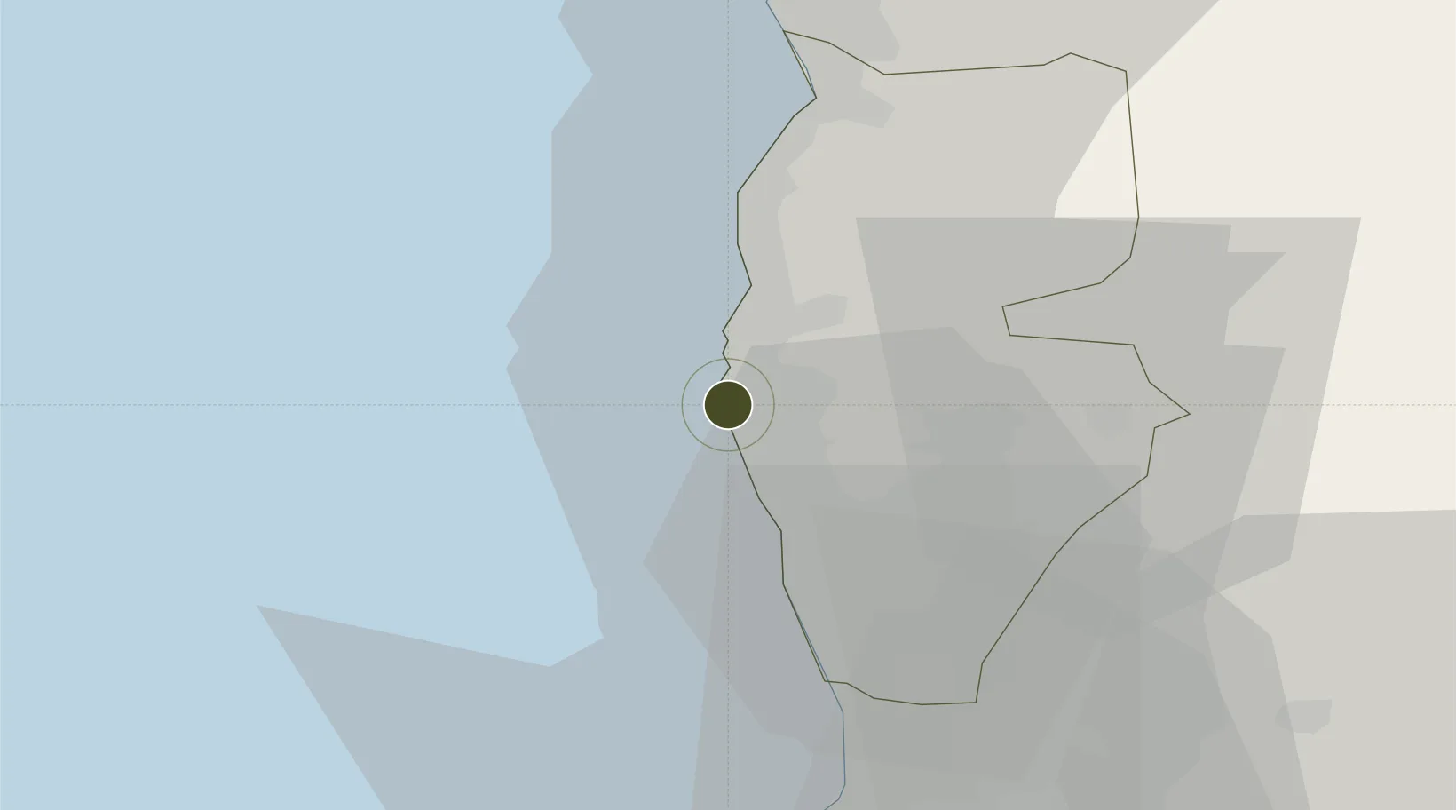
34.9096°, 35.8791°
195 ha
Zone area
1.6 km
Nearest port
37.6 km
Nearest airport
Gateway access
Zone profile
Zone type
Free Trade Zone
Region
Tartus
Status
Active
Management
Public
Operator
The General Establishment of Free Zones
Legal framework
Investment Law No. 10 (1991) and Its Amending Decrees No. 7 (2000) and Nos. 8 and 9 on January 27, 2007.
Location
Nearby Logistics Neighbours
Ports
- 1Tartus2 km
- 2Baniyas32 km
- 3Tarabulus51 km
- 4Al Ladhiqiyah70 km
- 5Selaata73 km
Airports
- 1Rene Mouawad Air Base38 km
- 2Latakia International Airport55 km
- 3Wujah Al Hajar Air Base72 km
- 4Al Qusayr Air Base74 km
- 5Rayak Air Base118 km
Cities
- 1Tartus1 km
- 2Tartus Oil Terminal6 km
- 3Arwad7 km
- 4Baniyas31 km
- 5Al Ladhiqiyah68 km
Trade Zones
- 1Tripoli Special Economic Zone51 km
- 2Latakia Lattakia Free Port70 km
- 3LatakiaLattakia Free Zone70 km
- 4Port of Beirut Logistics Free Zone118 km
- 5Adra Free Zone159 km
DatabookThe Record of Consolidated Knowledge
Syria beyond logistics?