Medium airport · Lebanon

Rene Mouawad Air BaseOLKA
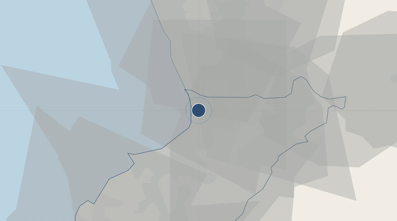
34.5893°, 36.0113°
9,843 ft
Longest runway
1
Runways
75 ft
Elevation

Runway & Layout

Rene Mouawad Air Base runway & taxiway layout
Runway & taxiway layout — OpenStreetMap (ODbL) / OurAirports

Radio Frequencies

TWR
119.5 MHz
OurAirports

Navaids

RA NDB Rene Mouawad 450 kHz
OurAirports

Runways · 1

RunwayDimensions SurfaceTrue headingLit
06/24 9,843 × 148ft Concrete 062°
OurAirports

Airport Specifications

IATA code
KYE
OurAirports
ICAO code
OLKA
OurAirports
Airport class
Medium airport
OurAirports
Scheduled service
No
OurAirports
Runway surface
Concrete
OurAirports
Served city
Tripoli
OurAirports

Location

Location of OLKA
Natural Earth 10m (public domain) · North Lebanon · OLKA · 34.59, 36.01GoogleOSMYandex

Nearby Logistics Neighbours

Airports
  1. 1Wujah Al Hajar Air Base46 km
  2. 2Al Qusayr Air Base52 km
  3. 3Rayak Air Base82 km
  4. 4Latakia International Airport90 km
  5. 5Beirut Rafic Hariri International Airport98 km
Nearest neighbours — logibook spatial index (haversine) over the source coordinates
Cities
  1. 1Arwad33 km
  2. 2Tartus38 km
  3. 3Tartus Oil Terminal44 km
  4. 4'Ablah54 km
  5. 5Amchit60 km
Nearest neighbours — logibook spatial index (haversine) over the source coordinates
Ports
  1. 1Tarabulus23 km
  2. 2Tartus37 km
  3. 3Selaata47 km
  4. 4Baniyas67 km
  5. 5Bayrut90 km
Nearest neighbours — logibook spatial index (haversine) over the source coordinates
Trade Zones
  1. 1Tripoli Special Economic Zone23 km
  2. 2Tartous Tartus Free Zone38 km
  3. 3Port of Beirut Logistics Free Zone90 km
  4. 4LatakiaLattakia Free Zone107 km
  5. 5Latakia Lattakia Free Port107 km
Nearest neighbours — logibook spatial index (haversine) over the source coordinates
DatabookThe Record of Consolidated Knowledge
Lebanon beyond logistics?
Browse databook

All Sources

AirportsOurAirports
Public domain
Portsthe NGA World Port Index
Public domain (US gov)
LocationsUN/LOCODE
UN/LOCODE — free
Trade Zonesthe World Bank SEZ database
CC BY 4.0
Trade ZonesOpen Zone Map
CC BY
InfrastructureOpenStreetMap
ODbL 1.0
← Lebanon airports