Free Trade Zone · Syria

Adra Free Zone Active
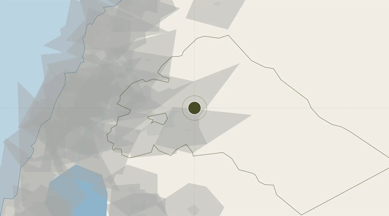
33.6051°, 36.5825°
7,000 ha
Zone area
105.3 km
Nearest port
22.4 km
Nearest airport

Gateway access

Nearest neighbours — logibook spatial index (haversine) over the source coordinates

Zone profile

Zone type
Free Trade Zone
Open Zone Map
Region
Rif Dimashq
Open Zone Map
Status
Active
Open Zone Map
Management
Public
Open Zone Map
Operator
The General Establishment of Free Zones
Open Zone Map
Legal framework
Investment Law No. 10 (1991) and Its Amending Decrees No. 7 (2000) and Nos. 8 and 9 on January 27, 2007.
Open Zone Map

Location

Location of ozm-4381
Natural Earth 10m (public domain) · Rif Dimashq · ozm-4381 · 33.61, 36.58GoogleOSMYandex

Nearby Logistics Neighbours

Ports
  1. 1Bayrut105 km
  2. 2Selaata114 km
  3. 3Sayda115 km
  4. 4Tarabulus117 km
  5. 5Sidon/zahrani Terminal118 km
Nearest neighbours — logibook spatial index (haversine) over the source coordinates
Airports
  1. 1Damascus International Airport22 km
  2. 2An Nasiriyah Air Base44 km
  3. 3Khalkhalah Air Base59 km
  4. 4Rayak Air Base61 km
  5. 5Beirut Rafic Hariri International Airport104 km
Nearest neighbours — logibook spatial index (haversine) over the source coordinates
Cities
  1. 1Bekaa60 km
  2. 2'Ablah67 km
  3. 3Ashqout92 km
  4. 4Zouk97 km
  5. 5Antelias97 km
Nearest neighbours — logibook spatial index (haversine) over the source coordinates
Trade Zones
  1. 1Damascus International Airport Free Zone23 km
  2. 2Damascus Free Zone30 km
  3. 3Port of Beirut Logistics Free Zone104 km
  4. 4Tripoli Special Economic Zone117 km
  5. 5Daraa Free Zone126 km
Nearest neighbours — logibook spatial index (haversine) over the source coordinates
DatabookThe Record of Consolidated Knowledge
Syria beyond logistics?
Browse databook

All Sources

Trade ZonesOpen Zone Map
CC BY
Portsthe NGA World Port Index
Public domain (US gov)
AirportsOurAirports
Public domain
LocationsUN/LOCODE
UN/LOCODE — free
← Syria trade zones