Free Trade Zone · Syria

Damascus Free Zone Active
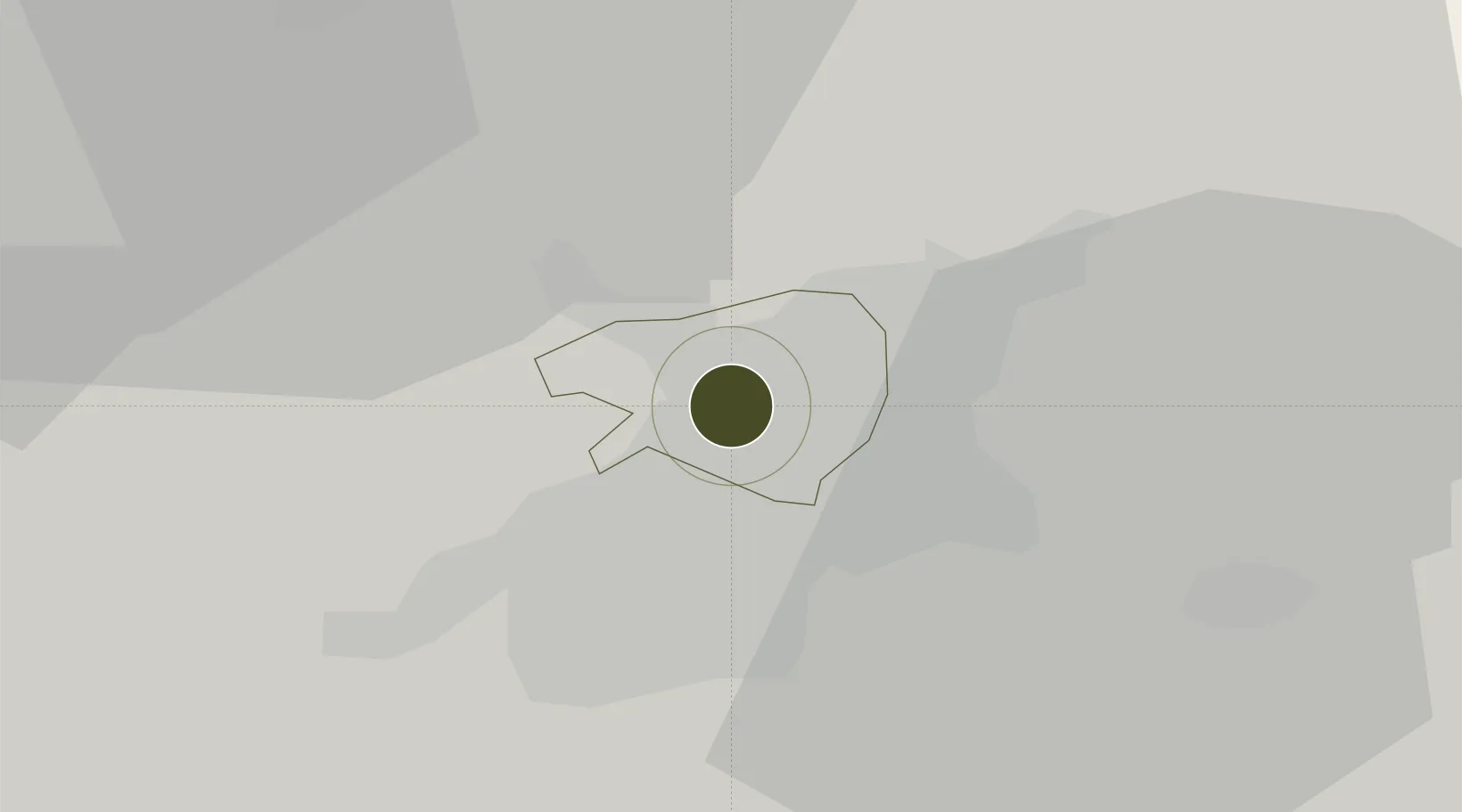
33.5085°, 36.2772°
16 ha
Zone area
84.0 km
Nearest port
24.6 km
Nearest airport

Gateway access

Nearest neighbours — logibook spatial index (haversine) over the source coordinates

Zone profile

Zone type
Free Trade Zone
Open Zone Map
Region
Damascus
Open Zone Map
Status
Active
Open Zone Map
Management
Public
Open Zone Map
Operator
The General Establishment of Free Zones
Open Zone Map
Legal framework
Investment Law No. 10 (1991) and Its Amending Decrees No. 7 (2000) and Nos. 8 and 9 on January 27, 2007.
Open Zone Map

Location

Location of ozm-4374
Natural Earth 10m (public domain) · Damascus · ozm-4374 · 33.51, 36.28GoogleOSMYandex

Nearby Logistics Neighbours

Ports
  1. 1Bayrut84 km
  2. 2Sayda86 km
  3. 3Sidon/zahrani Terminal89 km
  4. 4Selaata104 km
  5. 5Tarabulus112 km
Nearest neighbours — logibook spatial index (haversine) over the source coordinates
Airports
  1. 1Damascus International Airport25 km
  2. 2Rayak Air Base47 km
  3. 3Khalkhalah Air Base55 km
  4. 4An Nasiriyah Air Base71 km
  5. 5Beirut Rafic Hariri International Airport81 km
Nearest neighbours — logibook spatial index (haversine) over the source coordinates
Cities
  1. 1Bekaa56 km
  2. 2'Ablah71 km
  3. 3Ashqout75 km
  4. 4Bchamoun76 km
  5. 5Antelias77 km
Nearest neighbours — logibook spatial index (haversine) over the source coordinates
Trade Zones
  1. 1Damascus International Airport Free Zone24 km
  2. 2Adra Free Zone30 km
  3. 3Port of Beirut Logistics Free Zone83 km
  4. 4Daraa Free Zone111 km
  5. 5Tripoli Special Economic Zone113 km
Nearest neighbours — logibook spatial index (haversine) over the source coordinates
DatabookThe Record of Consolidated Knowledge
Syria beyond logistics?
Browse databook

All Sources

Trade ZonesOpen Zone Map
CC BY
Portsthe NGA World Port Index
Public domain (US gov)
AirportsOurAirports
Public domain
LocationsUN/LOCODE
UN/LOCODE — free
← Syria trade zones