Medium airport · Syria

Al Qusayr Air BaseOS70
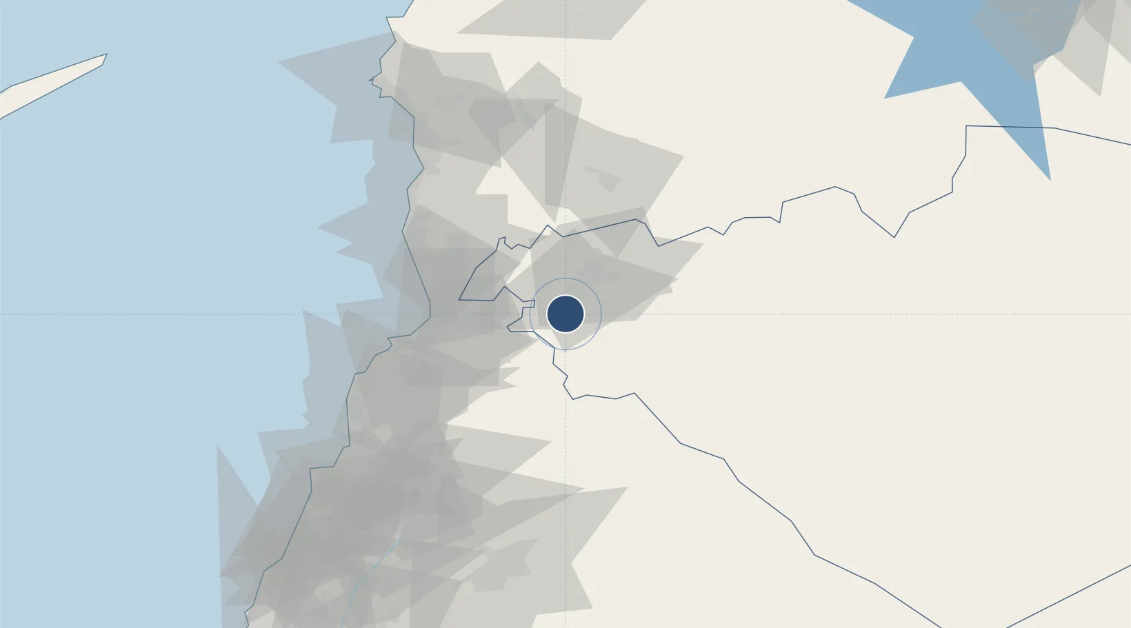
34.5691°, 36.5728°
10,000 ft
Longest runway
1
Runways
1,768 ft
Elevation

Runway & Layout

Al Qusayr Air Base runway & taxiway layout
Runway & taxiway layout — OpenStreetMap (ODbL) / OurAirports

Runways · 1

RunwayDimensions SurfaceTrue headingLit
10/28 10,000 × 148ft Asphalt / concrete 100°
OurAirports

Airport Specifications

Airport class
Medium airport
OurAirports
Scheduled service
No
OurAirports
Runway surface
Asphalt / concrete
OurAirports
Served city
Al-Qusayr
OurAirports

Location

Location of OS70
Natural Earth 10m (public domain) · Homs (Hims) · OS70 · 34.57, 36.57GoogleOSMYandex

Nearby Logistics Neighbours

Airports
  1. 1Rene Mouawad Air Base52 km
  2. 2An Nasiriyah Air Base77 km
  3. 3Wujah Al Hajar Air Base88 km
  4. 4Rayak Air Base96 km
  5. 5Latakia International Airport109 km
Nearest neighbours — logibook spatial index (haversine) over the source coordinates
Cities
  1. 1Homs23 km
  2. 2'Ablah54 km
  3. 3Arwad73 km
  4. 4Tartus75 km
  5. 5Bekaa75 km
Nearest neighbours — logibook spatial index (haversine) over the source coordinates
Ports
  1. 1Tarabulus69 km
  2. 2Tartus74 km
  3. 3Baniyas90 km
  4. 4Selaata90 km
  5. 5Bayrut124 km
Nearest neighbours — logibook spatial index (haversine) over the source coordinates
Trade Zones
  1. 1Tripoli Special Economic Zone70 km
  2. 2Tartous Tartus Free Zone74 km
  3. 3Adra Free Zone107 km
  4. 4Damascus Free Zone121 km
  5. 5Port of Beirut Logistics Free Zone123 km
Nearest neighbours — logibook spatial index (haversine) over the source coordinates
DatabookThe Record of Consolidated Knowledge
Syria beyond logistics?
Browse databook

All Sources

AirportsOurAirports
Public domain
Portsthe NGA World Port Index
Public domain (US gov)
LocationsUN/LOCODE
UN/LOCODE — free
Trade Zonesthe World Bank SEZ database
CC BY 4.0
Trade ZonesOpen Zone Map
CC BY
InfrastructureOpenStreetMap
ODbL 1.0
← Syria airports